Transport Functions
Multimodal
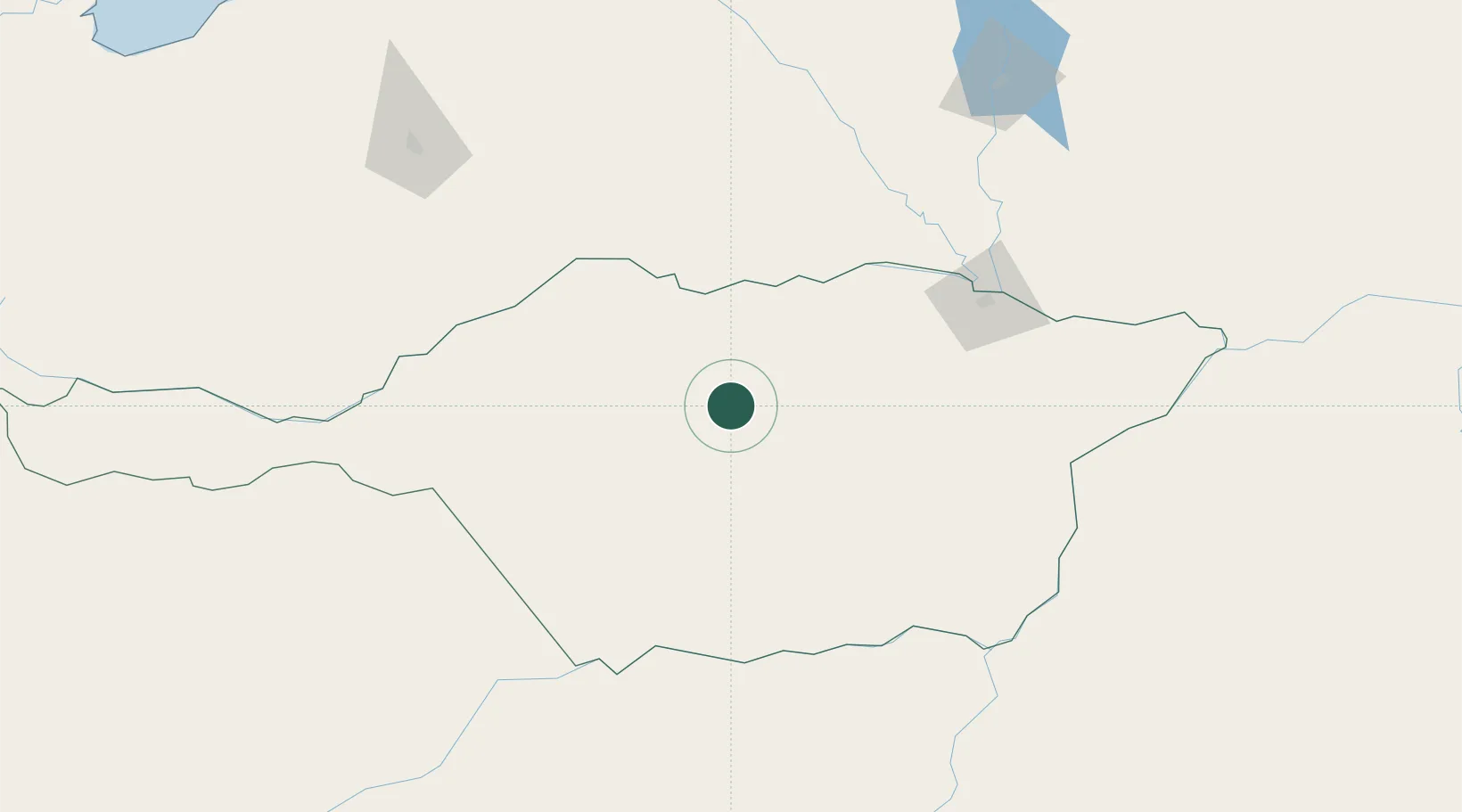
Hub Profile
Place type
Populated place
Region
Apure
Time zone
America/Caracas
Elevation
70 m
Location
Nearby Logistics Neighbours
Cities
- 1Mantecal54 km
- 2Puerto Carreño188 km
- 3Puerto Páez188 km
- 4El Playon196 km
- 5Araure251 km
Ports
- 1El Palito352 km
- 2Puerto Cabello355 km
- 3Puerto Borburata355 km
- 4San Lorenzo374 km
- 5Puerto Chichiriviche398 km
Airports
- 1Elorza Airport94 km
- 2San Fernando de Apure Las Flecheras National Airport150 km
- 3Palmarito Airport164 km
- 4German Olano Airport187 km
- 5Marandúa Air Base205 km
Trade Zones
- 1Scientific, Cultural and Technological Free Zone of the State of Mérida (Zona Libre Cultural, Científica y Tecnológica del Estado Mérida)307 km
- 2Morón Puerto Cabello Special Economic Zone355 km
- 3Guarenas-Guatire Special Economic Zone416 km
- 4Urema-San Antonio Special Border Economic Zone417 km
- 5Zona Franca de Cúcuta423 km
DatabookThe Record of Consolidated Knowledge
Venezuela beyond logistics?