Medium airport · Colombia
German Olano AirportSKPC
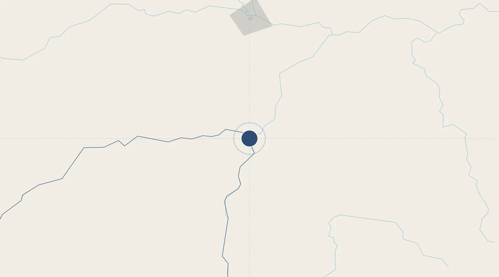
6.1847°, -67.4932°
5,907 ft
Longest runway
1
Runways
177 ft
Elevation
Runway & Layout

Radio Frequencies
TWR
118.1 MHz
RDO
348.8 MHz
Navaids
PCR NDB Puerto Carreno 353 kHz
PTC VOR-DME Puerto Carreno 112.90 MHz
Runways · 1
| Runway | Dimensions | Surface | True heading | Lit |
|---|---|---|---|---|
| 07/25 | 5,907 × 69ft | Asphalt | 060° | ✓ |
Airport Specifications
IATA code
PCR
ICAO code
SKPC
Airport class
Medium airport
Scheduled service
Yes
Runway surface
Asphalt
Served city
Puerto Carreño
Location
Nearby Logistics Neighbours
Airports
- 1Cacique Aramare Airport64 km
- 2Marandúa Air Base151 km
- 3San Fernando de Apure Las Flecheras National Airport189 km
- 4Caicara del Orinoco Airport217 km
- 5Elorza Airport242 km
Cities
- 1Puerto Carreño1 km
- 2Puerto Páez6 km
- 3El Pinal187 km
- 4Mantecal239 km
- 5El Playon366 km
Ports
- 1Puerto Borburata481 km
- 2Puerto Cabello481 km
- 3El Palito483 km
- 4Ciudad Bolivar486 km
- 5Catia La Mar494 km
Trade Zones
- 1Guarenas-Guatire Special Economic Zone487 km
- 2Scientific, Cultural and Technological Free Zone of the State of Mérida (Zona Libre Cultural, Científica y Tecnológica del Estado Mérida)488 km
- 3Morón Puerto Cabello Special Economic Zone489 km
- 4Urema-San Antonio Special Border Economic Zone579 km
- 5Zona Franca de Cúcuta585 km
DatabookThe Record of Consolidated Knowledge
Colombia beyond logistics?