Medium airport · Venezuela
Cacique Aramare AirportSVPA
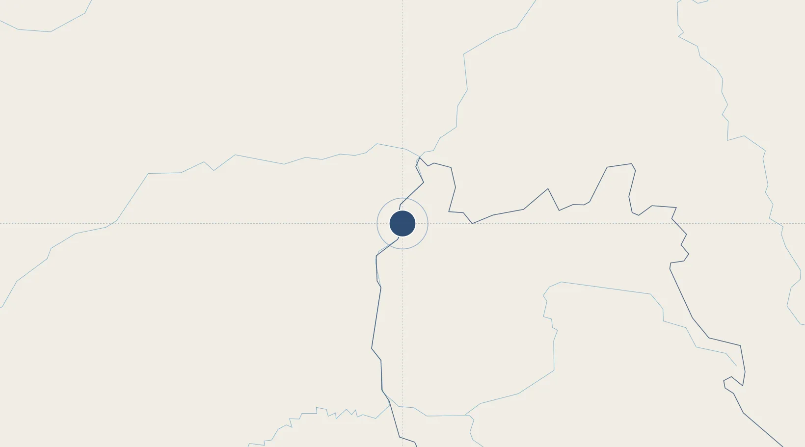
5.6200°, -67.6061°
8,272 ft
Longest runway
1
Runways
245 ft
Elevation
Runway & Layout

Radio Frequencies
TWR
118.3 MHz
PUERTO AYACUCHO
Navaids
PAY VOR Puerto Ayacucho 112.80 MHz
PAY NDB Puerto Ayacucho 375 kHz
Runways · 1
| Runway | Dimensions | Surface | True heading | Lit |
|---|---|---|---|---|
| 04/22 | 8,272 × 140ft | Asphalt | 030° | ✓ |
Airport Specifications
IATA code
PYH
ICAO code
SVPA
Airport class
Medium airport
Scheduled service
No
Runway surface
Asphalt
Served city
Puerto Ayacucho
Location
Nearby Logistics Neighbours
Airports
Cities
- 1Puerto Carreño64 km
- 2Puerto Páez69 km
- 3El Pinal229 km
- 4Mantecal276 km
- 5Kinkora404 km
Ports
- 1Ciudad Bolivar528 km
- 2Puerto Borburata542 km
- 3Puerto Cabello543 km
- 4El Palito544 km
- 5Catia La Mar558 km
Trade Zones
- 1Scientific, Cultural and Technological Free Zone of the State of Mérida (Zona Libre Cultural, Científica y Tecnológica del Estado Mérida)515 km
- 2Morón Puerto Cabello Special Economic Zone550 km
- 3Guarenas-Guatire Special Economic Zone551 km
- 4Urema-San Antonio Special Border Economic Zone592 km
- 5Zona Franca de Cúcuta598 km
DatabookThe Record of Consolidated Knowledge
Venezuela beyond logistics?