Seaport · Venezuela
Puerto CabelloVEPBL
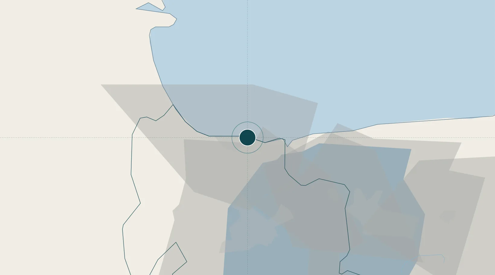
10.4833°, -68.0000°
9.4 m
Channel depth
1
Container terminals
63.8
Port liner connectivity
Channel & Berth Profile
Pilotage, Tugs & Services
Pilotage compulsoryYES
Pilotage availableYES
Pilotage advisableYES
Local assistanceYES
Tug assistanceYES
Shore powerNO
Potable waterYES
Diesel bunkersYES
MedicalYES
Garbage disposalYES
Facilities & Capabilities
ContainerYES
Ro-RoYES
Liquid bulkYES
Dry bulkYES
Oil terminalYES
Break bulkYES
Dry dockNO
RepairsNO
BunkeringYES
Rail linkYES
Dangerous cargo—
ISPS securityYES
Harbour Specifications
Harbour size
Medium
Harbour type
Coastal (Natural)
Shelter
Excellent
Water body
Caribbean Sea; North Atlantic Ocean
Overhead limit
No
Pilotage
Yes
Liner Connectivity
63.8
PLSCI
Port Liner Shipping Connectivity Index for Puerto Cabello, as published by UNCTAD for the latest available quarter. Higher values indicate stronger scheduled liner-shipping integration.
Shown relative to the highest per-port PLSCI in the dataset (1,657.9).
Location
Container Terminals · 1
BOLIPUERTOS PUERTO CABELLO
BOPBL BOLIVARIANA DE PUERTOS (BOLIPUERTOS), S.A.
Nearby Logistics Neighbours
Ports
- 1Puerto Borburata2 km
- 2El Palito13 km
- 3Puerto Chichiriviche56 km
- 4Catia La Mar108 km
- 5La Guaira118 km
Cities
- 1Morón22 km
- 2San Diego27 km
- 3Los Guayos34 km
- 4El Consejo85 km
- 5El Junquito100 km
Airports
Trade Zones
DatabookThe Record of Consolidated Knowledge
Venezuela beyond logistics?