Medium airport · Venezuela
Caicara del Orinoco AirportSVCD
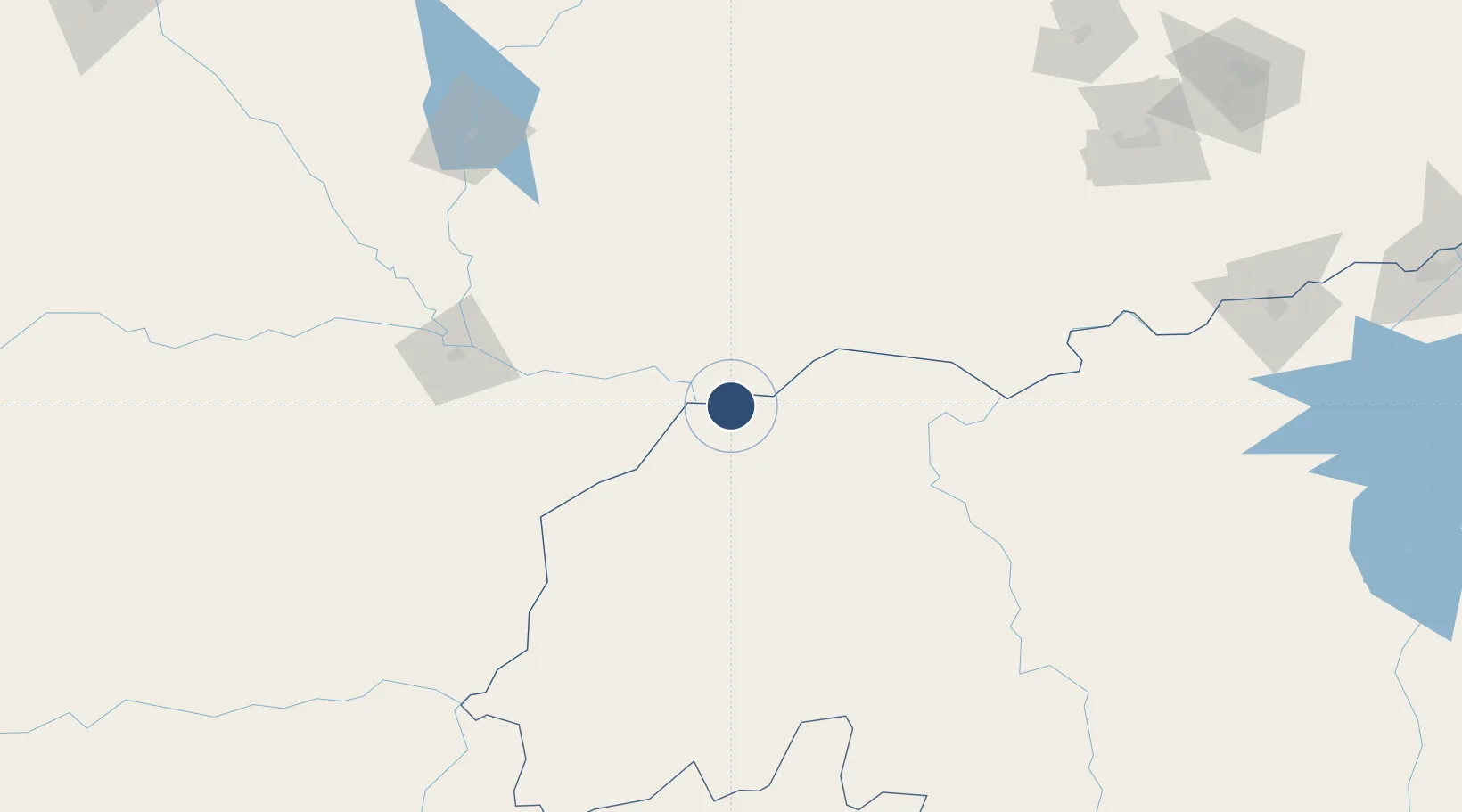
7.6255°, -66.1628°
4,920 ft
Longest runway
1
Runways
141 ft
Elevation
Runway & Layout

Navaids
CDO VOR-DME Caicara Del Orinoco 112.30 MHz
CDO NDB Caicara Del Orinoco 341 kHz
Runways · 1
| Runway | Dimensions | Surface | True heading | Lit |
|---|---|---|---|---|
| 11/29 | 4,920 × 100ft | Asphalt | 102° | — |
Airport Specifications
IATA code
CXA
ICAO code
SVCD
Airport class
Medium airport
Scheduled service
No
Runway surface
Asphalt
Location
Nearby Logistics Neighbours
Airports
- 1San Fernando de Apure Las Flecheras National Airport144 km
- 2Valle de La Pascua Airport179 km
- 3Calabozo Airport200 km
- 4German Olano Airport217 km
- 5San Tomé Airport266 km
Cities
- 1Puerto Páez212 km
- 2Puerto Carreño217 km
- 3El Jose275 km
- 4El Pinal281 km
- 5La Trinidad286 km
Ports
- 1Ciudad Bolivar293 km
- 2Jose Terminal311 km
- 3Puerto La Cruz337 km
- 4Bahia De Pertigalete339 km
- 5Guanta340 km
Trade Zones
- 1Guarenas-Guatire Special Economic Zone320 km
- 2Zona Franca Industrial, Comercial y de Servicios de Cumaná380 km
- 3Morón Puerto Cabello Special Economic Zone394 km
- 4Free Port of the Nueva Esparta State428 km
- 5Scientific, Cultural and Technological Free Zone of the State of Mérida (Zona Libre Cultural, Científica y Tecnológica del Estado Mérida)566 km
DatabookThe Record of Consolidated Knowledge
Venezuela beyond logistics?