Transport Functions
Port
Airport
Hub Profile
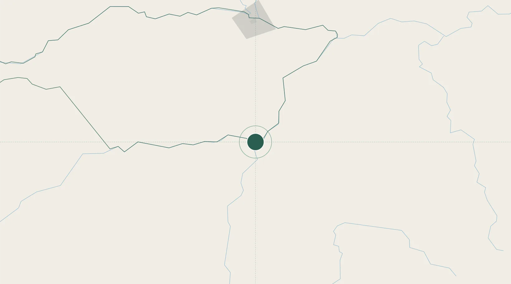
Place type
Populated place
Region
Apure
Time zone
America/Caracas
Elevation
62 m
Location
Nearby Logistics Neighbours
Cities
- 1Puerto Carreño5 km
- 2El Pinal188 km
- 3Mantecal240 km
- 4El Playon365 km
- 5Kinkora403 km
Ports
- 1Puerto Borburata478 km
- 2Puerto Cabello478 km
- 3El Palito480 km
- 4Ciudad Bolivar480 km
- 5Catia La Mar490 km
Airports
Trade Zones
- 1Guarenas-Guatire Special Economic Zone483 km
- 2Morón Puerto Cabello Special Economic Zone486 km
- 3Scientific, Cultural and Technological Free Zone of the State of Mérida (Zona Libre Cultural, Científica y Tecnológica del Estado Mérida)490 km
- 4Urema-San Antonio Special Border Economic Zone583 km
- 5Zona Franca de Cúcuta588 km
DatabookThe Record of Consolidated Knowledge
Venezuela beyond logistics?