Channel & Berth Profile
Pilotage, Tugs & Services
Pilotage compulsoryYES
Pilotage availableYES
Pilotage advisableYES
Local assistanceYES
Potable waterYES
MedicalYES
Facilities & Capabilities
Container—
Ro-Ro—
Liquid bulk—
Dry bulk—
Oil terminal—
Break bulk—
Dry dock—
RepairsNO
Bunkering—
Rail link—
Dangerous cargo—
ISPS security—
Harbour Specifications
Harbour size
Small
Harbour type
River (Natural)
Shelter
Good
Water body
Caribbean Sea; North Atlantic Ocean
Tidal range
1 m
Overhead limit
Yes
Pilotage
Yes
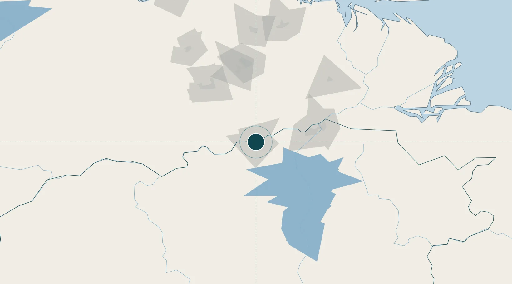
Location
Nearby Logistics Neighbours
Ports
- 1Puerto Ordaz95 km
- 2Palua99 km
- 3Caripito231 km
- 4Bahia De Pertigalete259 km
- 5Jose Terminal261 km
Cities
- 1Palúa100 km
- 2Scotland129 km
- 3Punta de Mata172 km
- 4Caripito230 km
- 5Jose Terminal261 km
Airports
Trade Zones
DatabookThe Record of Consolidated Knowledge
Venezuela beyond logistics?