Free Trade Zone · Venezuela

Urema-San Antonio Special Border Economic Zone Active

7.9185°, -72.4428°
256.6 km
Nearest port
7.6 km
Nearest airport

Gateway access

Nearest neighbours — logibook spatial index (haversine) over the source coordinates

Zone profile

Zone type
Free Trade Zone
Open Zone Map
Region
Táchira
Open Zone Map
Status
Active
Open Zone Map
Management
Public
Open Zone Map
Operator
National Integrated Service for the Administration of Customs Duties and Taxes (SENIAT)
Open Zone Map
Legal framework
Presidential Decree 1,496, dated December 2, 2014
Open Zone Map

Location

Location of ozm-5323
Natural Earth 10m (public domain) · Táchira · ozm-5323 · 7.92, -72.44GoogleOSMYandex

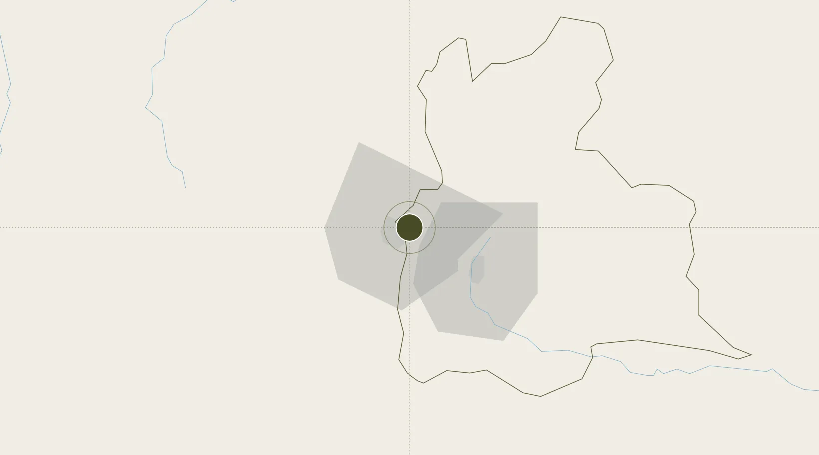
Nearby Logistics Neighbours

Ports
  1. 1San Lorenzo257 km
  2. 2La Salina293 km
  3. 3Bajo Grande302 km
  4. 4Maracaibo316 km
  5. 5Puerto Miranda331 km
Nearest neighbours — logibook spatial index (haversine) over the source coordinates
Airports
  1. 1Camilo Daza International Airport8 km
  2. 2Juan Vicente Gómez International Airport9 km
  3. 3Paramillo Airport30 km
  4. 4La Fria Airport40 km
  5. 5Mayor Buenaventura Vivas International Airport60 km
Nearest neighbours — logibook spatial index (haversine) over the source coordinates
Cities
  1. 1Ureña1 km
  2. 2Seboruco48 km
  3. 3Barrancabermeja184 km
  4. 4La Jagua de Ibirico206 km
  5. 5San Lorenzo/maracaibo L257 km
Nearest neighbours — logibook spatial index (haversine) over the source coordinates
DatabookThe Record of Consolidated Knowledge
Venezuela beyond logistics?
Browse databook

All Sources

Trade ZonesOpen Zone Map
CC BY
Portsthe NGA World Port Index
Public domain (US gov)
AirportsOurAirports
Public domain
LocationsUN/LOCODE
UN/LOCODE — free
← Venezuela trade zones