Medium airport · Brazil
Tabatinga International AirportSBTT
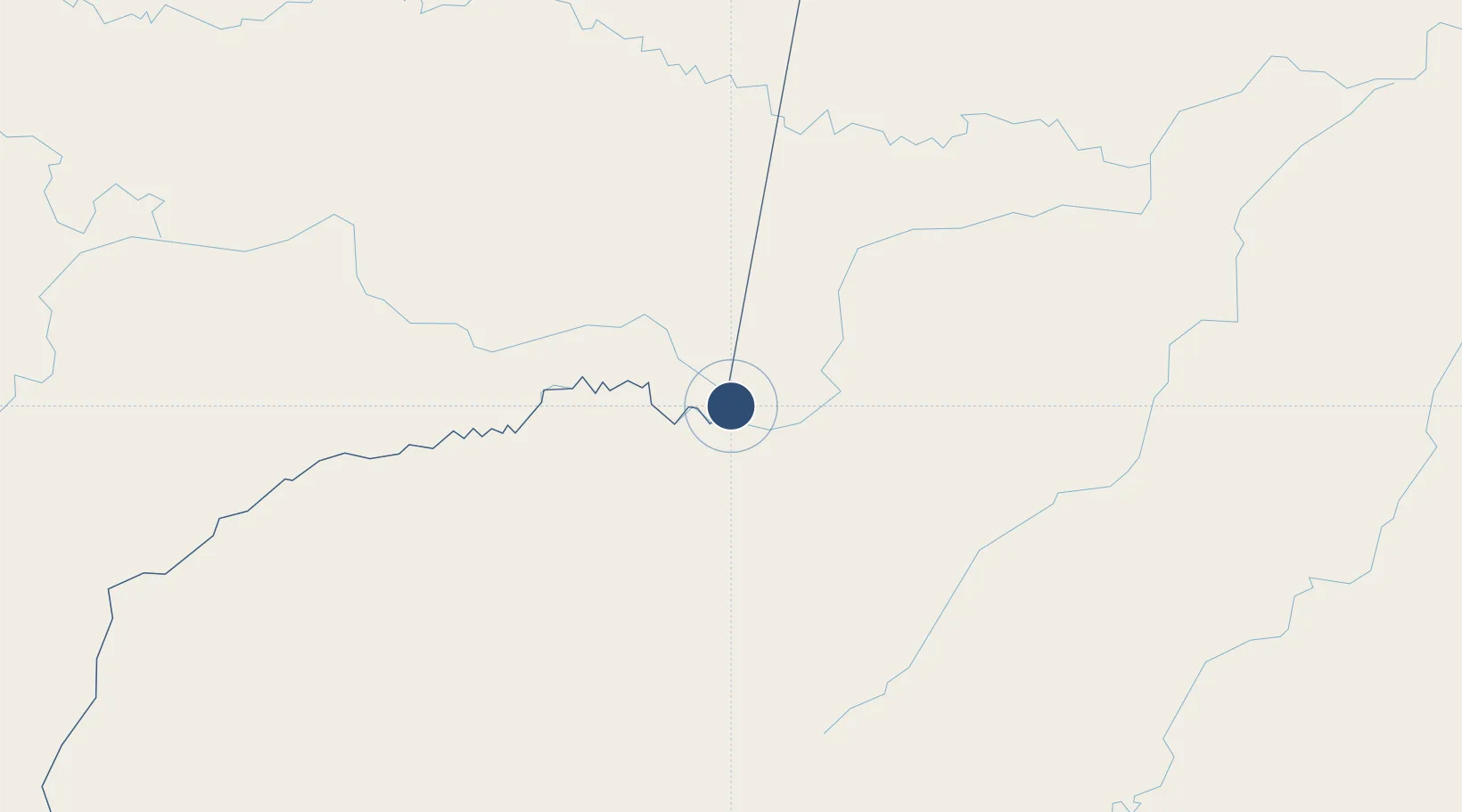
-4.2557°, -69.9358°
7,054 ft
Longest runway
1
Runways
263 ft
Elevation
Runway & Layout

Radio Frequencies
AFIS
125.9 MHz
RDO
Navaids
TBT NDB Tabatinga 230 kHz
Runways · 1
| Runway | Dimensions | Surface | True heading | Lit |
|---|---|---|---|---|
| 12/30 | 7,054 × 107ft | Asphalt | — | ✓ |
Airport Specifications
IATA code
TBT
ICAO code
SBTT
Airport class
Medium airport
Scheduled service
Yes
Runway surface
Asphalt
Served city
Tabatinga
Location
Nearby Logistics Neighbours
Airports
- 1Alfredo Vásquez Cobo International Airport7 km
- 2Caballococha Airport74 km
- 3Tarapacá Airport153 km
- 4La Pedrera Airport328 km
- 5Carauari Airport344 km
Cities
- 1Tabatinga4 km
- 2Leticia4 km
- 3Simon Bolivar14 km
- 4Benjamin Constant15 km
- 5São Paulo de Olivença143 km
Ports
- 1Iquitos370 km
- 2Salaverry1093 km
- 3Puerto De Chimbote1099 km
- 4Manaus1108 km
- 5Punta Lobitos (Bahia De Huarmey)1116 km
Trade Zones
- 1ZPE do Acre (AC)697 km
- 2Cobija Commercial and Industrial Free Zone775 km
- 3Surcolombiana Free Trade Zone996 km
- 4Metrozona Quito1040 km
- 5Corpaq Tabalela (Quiport)1043 km
DatabookThe Record of Consolidated Knowledge
Brazil beyond logistics?