Transport Functions
Port
Road
Airport
Hub Profile
Place type
Populated place
Region
Amazonas
Population
35,534
Time zone
America/Eirunepe
Elevation
123 m
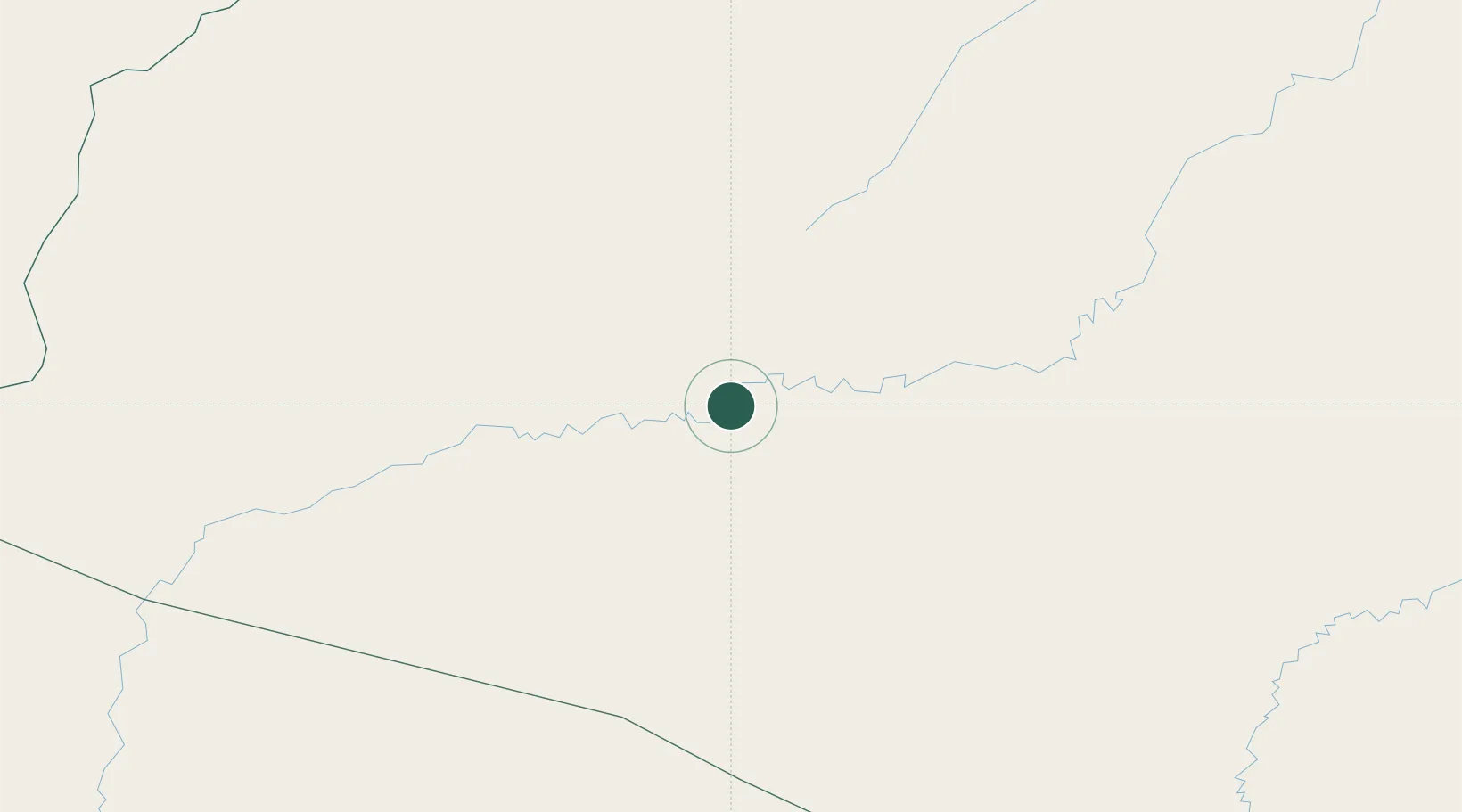
Location
Nearby Logistics Neighbours
Cities
- 1Itamarati181 km
- 2Ipixuna207 km
- 3Benjamin Constant256 km
- 4Tabatinga273 km
- 5Leticia273 km
Ports
- 1Iquitos496 km
- 2Chancay979 km
- 3Puerto Supe982 km
- 4Bahia De Ancon983 km
- 5Puerto De Huacho986 km
Airports
- 1Tarauacá Airport195 km
- 2Tabatinga International Airport268 km
- 3Alfredo Vásquez Cobo International Airport276 km
- 4Caballococha Airport314 km
- 5Cruzeiro do Sul Airport338 km
DatabookThe Record of Consolidated Knowledge
Brazil beyond logistics?