Medium airport · Colombia
Guapi AirportSKGP
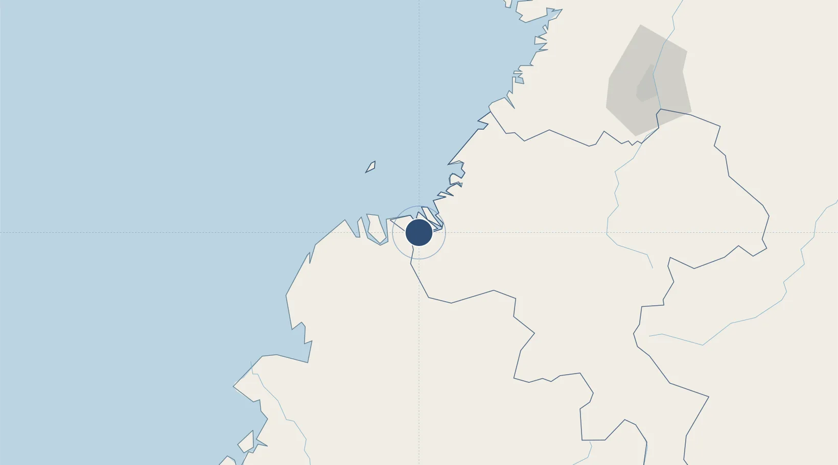
2.5701°, -77.8980°
4,256 ft
Longest runway
1
Runways
164 ft
Elevation
Runway & Layout

Radio Frequencies
TWR
118.6 MHz
RDO
348.8 MHz
Navaids
GPI NDB Guapi 309 kHz
PPN NDB Popayan 255 kHz
Runways · 1
| Runway | Dimensions | Surface | True heading | Lit |
|---|---|---|---|---|
| 01/19 | 4,256 × 66ft | Asphalt | 018° | ✓ |
Airport Specifications
IATA code
GPI
ICAO code
SKGP
Airport class
Medium airport
Scheduled service
Yes
Runway surface
Asphalt
Served city
Guapi
Location
Nearby Logistics Neighbours
Airports
- 1La Florida Airport127 km
- 2Guillermo León Valencia Airport144 km
- 3Antonio Nariño Airport147 km
- 4Gerardo Tobar López Airport172 km
- 5San Luis Airport192 km
Ports
- 1Tumaco126 km
- 2Buenaventura173 km
- 3Esmeraldas262 km
- 4Manta501 km
- 5Guayaquil575 km
Trade Zones
DatabookThe Record of Consolidated Knowledge
Colombia beyond logistics?