Medium airport · Russia
Chulman AirportUELL
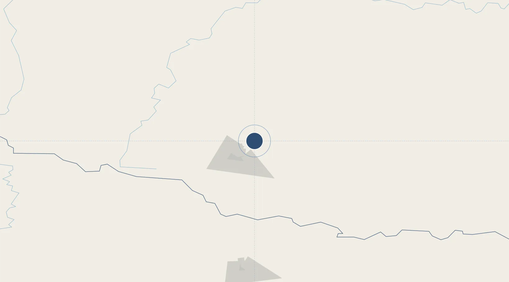
56.9139°, 124.9140°
11,811 ft
Longest runway
1
Runways
2,812 ft
Elevation
Runway & Layout

Radio Frequencies
TWR
118.3 MHz
Runways · 1
| Runway | Dimensions | Surface | True heading | Lit |
|---|---|---|---|---|
| 08/26 | 11,811 × 148ft | Concrete | 069° | ✓ |
Airport Specifications
IATA code
NER
ICAO code
UELL
Airport class
Medium airport
Scheduled service
Yes
Runway surface
Concrete
Served city
Neryungri
Location
Nearby Logistics Neighbours
Airports
- 1Byas-Kyuyol Airport436 km
- 2Olyokminsk Airport465 km
- 3Kutana Airport468 km
- 4Mohe Gulian Airport472 km
- 5Magan Airport633 km
Ports
- 1Nikolayevsk Na Amur1089 km
- 2Lazarev1187 km
- 3De Kastri1193 km
- 4Bukhta Vanino1342 km
- 5Sovetskaya Gavan1350 km
DatabookThe Record of Consolidated Knowledge
Russia beyond logistics?