Seaport · Russia

ZarubinoRUZAR

42.6333°, 131.0833°
20.1 m
Channel depth
9.0
Port liner connectivity
Zarubino is also a UN/LOCODE logistics hub →

Channel & Berth Profile

SEA LEVEL (CD)CHANNEL BEDCargo pier · 7.9 mAnchorage · 18.6 mChannel · 20.1 m
NGA World Port Index

Pilotage, Tugs & Services

Pilotage compulsoryYES
Pilotage availableYES
Tug assistanceYES
Salvage tugsYES
Potable waterYES
MedicalYES
Garbage disposalYES
NGA World Port Index

Facilities & Capabilities

Container
Ro-Ro
Liquid bulk
Dry bulk
Oil terminal
Break bulk
Dry dock
RepairsNO
BunkeringNO
Rail linkYES
Dangerous cargo
ISPS security
NGA World Port Index

Harbour Specifications

Harbour size
Very Small
NGA World Port Index
Harbour type
Coastal (Natural)
NGA World Port Index
Shelter
Fair
NGA World Port Index
Water body
Sea of Japan; North Pacific Ocean
NGA World Port Index
Overhead limit
No
NGA World Port Index
Pilotage
Yes
NGA World Port Index

Liner Connectivity

9
PLSCI

Port Liner Shipping Connectivity Index for Zarubino, as published by UNCTAD for the latest available quarter. Higher values indicate stronger scheduled liner-shipping integration.

Shown relative to the highest per-port PLSCI in the dataset (1,657.9).
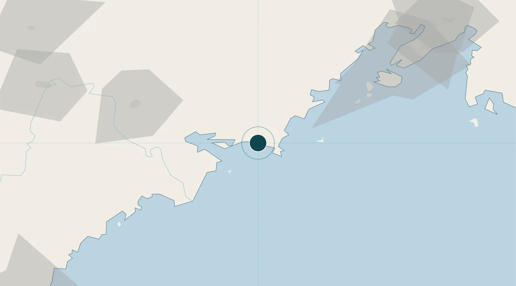
UNCTAD · Port Liner Shipping Connectivity Index

Location

Location of RUZAR
Natural Earth 10m (public domain) · Primor'ye · RUZAR · 42.63, 131.08GoogleOSMYandex

Nearby Logistics Neighbours

Ports
  1. 1Pos'yet23 km
  2. 2Slavyanka36 km
  3. 3Najin78 km
  4. 4Vladivostok84 km
  5. 5Ch'ongjin142 km
Nearest neighbours — logibook spatial index (haversine) over the source coordinates
Cities
  1. 1Vityaz8 km
  2. 2Hunchun64 km
  3. 3Rajin (Najin)80 km
  4. 4Vostokmorservice81 km
  5. 5Vladivostok85 km
Nearest neighbours — logibook spatial index (haversine) over the source coordinates
Airports
  1. 1Vladivostok International Airport121 km
  2. 2Yanji Chaoyangchuan Airport136 km
  3. 3Vozdvizhenka Air Base157 km
  4. 4Orang (Chongjin) Airport179 km
  5. 5Chernigovka Air Base222 km
Nearest neighbours — logibook spatial index (haversine) over the source coordinates
Trade Zones
  1. 1Huichun Export Processing Zone61 km
  2. 2Kyongwon Economic Development Zone73 km
  3. 3Rason Special Economic Zone77 km
  4. 4Onsōng Island Tourist Development Zone96 km
  5. 5Longjing Industrial Concentration Zone111 km
Nearest neighbours — logibook spatial index (haversine) over the source coordinates
DatabookThe Record of Consolidated Knowledge
Russia beyond logistics?
Browse databook

All Sources

Portsthe NGA World Port Index
Public domain (US gov)
Logistics performanceUNCTAD
CC BY 3.0 IGO
AirportsOurAirports
Public domain
LocationsUN/LOCODE
UN/LOCODE — free
Trade Zonesthe World Bank SEZ database
CC BY 4.0
Trade ZonesOpen Zone Map
CC BY
← Russia ports