Transport Functions
Port
Hub Profile
Place type
District seat
Region
Heilongjiang
Time zone
Asia/Shanghai
Elevation
173 m
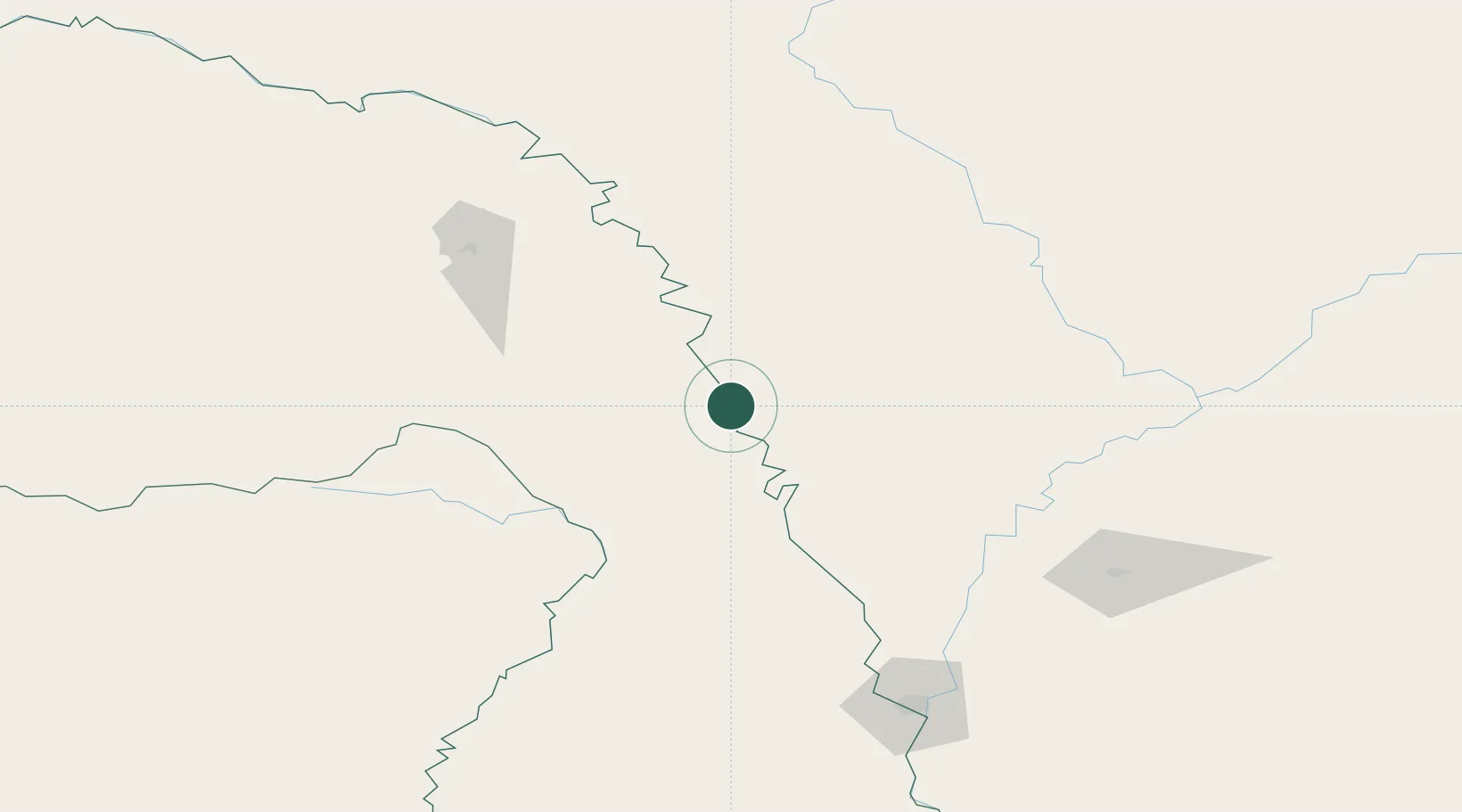
Location
Nearby Logistics Neighbours
Ports
- 1Vladivostok1033 km
- 2Slavyanka1045 km
- 3Pos'yet1054 km
- 4Zarubino1062 km
- 5Najin1088 km
Airports
- 1Ignatyevo Airport151 km
- 2Heihe Aihui Airport176 km
- 3Daxing'anling Elunchun Airport231 km
- 4Mohe Gulian Airport318 km
- 5Wudalianchi Dedu Airport364 km
DatabookThe Record of Consolidated Knowledge
China beyond logistics?