Seaport · Russia
VladivostokRUVVO
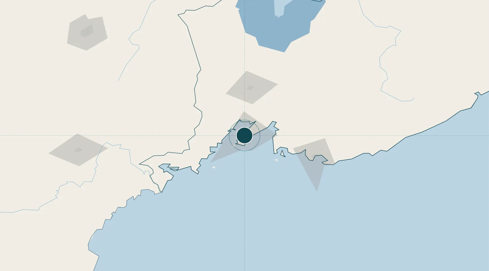
43.1089°, 131.8883°
19.0 m
Channel depth
3
Container terminals
172.1
Port liner connectivity
Channel & Berth Profile
Pilotage, Tugs & Services
Pilotage compulsoryYES
Pilotage availableYES
Pilotage advisableYES
Tug assistanceYES
Shore powerYES
Potable waterYES
Diesel bunkersYES
MedicalYES
Garbage disposalYES
Facilities & Capabilities
ContainerYES
Ro-RoYES
Liquid bulkYES
Dry bulkYES
Oil terminalYES
Break bulkYES
Dry dockNO
RepairsNO
BunkeringYES
Rail linkYES
Dangerous cargo—
ISPS security—
Harbour Specifications
Harbour size
Large
Harbour type
Coastal (Natural)
Shelter
Good
Water body
Sea of Japan; North Pacific Ocean
Tidal range
0.2 m
Overhead limit
Yes
Pilotage
Yes
Liner Connectivity
172.1
PLSCI
Port Liner Shipping Connectivity Index for Vladivostok, as published by UNCTAD for the latest available quarter. Higher values indicate stronger scheduled liner-shipping integration.
Shown relative to the highest per-port PLSCI in the dataset (1,657.9).
Location
Container Terminals · 3
PACIFIC LOGISTIC CONTAINER TERMINAL
PLCT PACIFIC LOGISTIC LLC
VLADIVOSTOK CONTAINER TERMINAL (VMTP)
VCT COMMERCIAL PORT OF VLADIVOSTOK PJSC (VMTP)
VLADIVOSTOK SEA CONTAINER TERMINAL (VMKT)
VSCT VLADIVOSTOK SEA CONTAINER TERMINAL LLC (VMKT)
Nearby Logistics Neighbours
Ports
- 1Slavyanka49 km
- 2Zarubino84 km
- 3Nakhodka88 km
- 4Pos'yet102 km
- 5Vostochnyy105 km
Cities
- 1Vladivostok2 km
- 2Fish Port Terminal3 km
- 3Vostokmorservice3 km
- 4Vityaz82 km
- 5Zarubino85 km
Airports
- 1Vladivostok International Airport38 km
- 2Vozdvizhenka Air Base89 km
- 3Chernigovka Air Base145 km
- 4Chuguyevka Air Base193 km
- 5Yanji Chaoyangchuan Airport200 km
Trade Zones
DatabookThe Record of Consolidated Knowledge
Russia beyond logistics?