Transport Functions
Multimodal
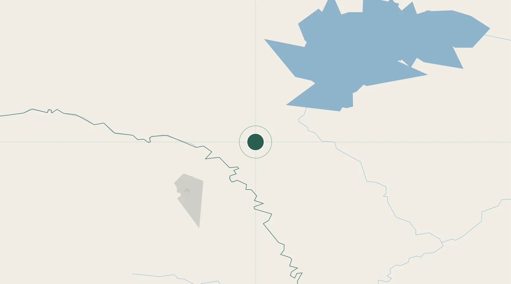
Hub Profile
Place type
Populated place
Region
Amur Oblast
Population
3,510
Time zone
Asia/Yakutsk
Elevation
305 m
Location
Nearby Logistics Neighbours
Ports
- 1Nikolayevsk Na Amur959 km
- 2De Kastri998 km
- 3Lazarev1027 km
- 4Bukhta Vanino1070 km
- 5Sovetskaya Gavan1075 km
Airports
- 1Mohe Gulian Airport263 km
- 2Ignatyevo Airport308 km
- 3Heihe Aihui Airport334 km
- 4Daxing'anling Elunchun Airport341 km
- 5Chulman Airport432 km
DatabookThe Record of Consolidated Knowledge
Russia beyond logistics?