Export Processing Zone · China
Fuqing Export Processing Zone
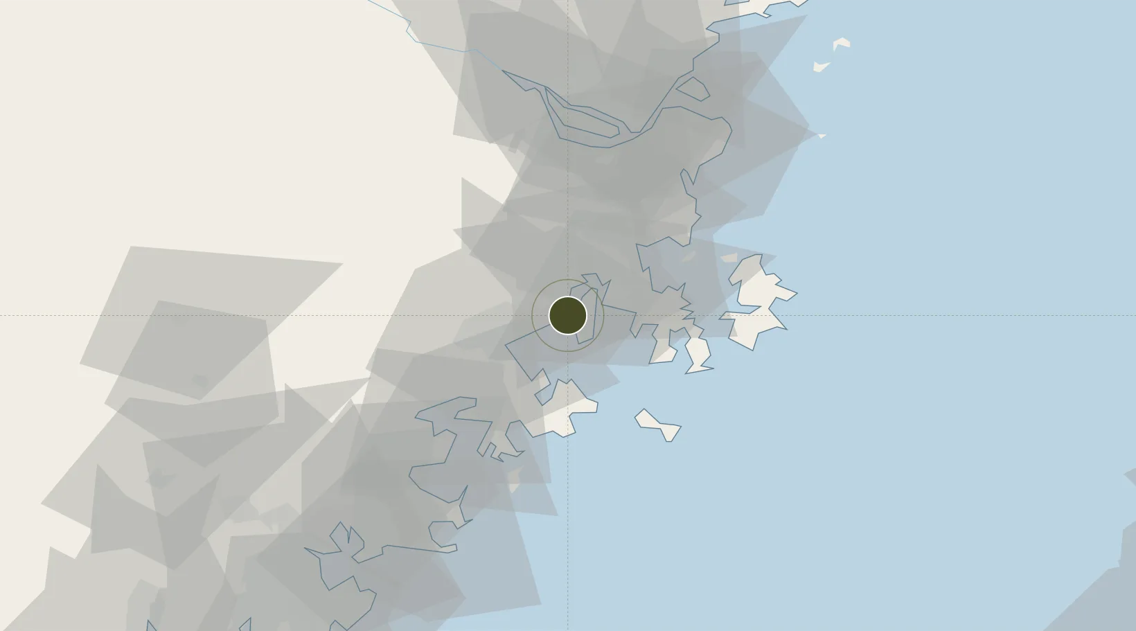
25.4980°, 119.2687°
300 ha
Zone area
41.1 km
Nearest port
20.9 km
Nearest airport
Gateway access
Zone profile
Zone type
Export Processing Zone
Region
Fujian
Established
2005
Management
Public agency
Operator
Administrative Committee of Fuqing Export Processing Zone
Regulatory authority
Administrative Commission
Legal framework
State or Provincial Council Decree
Location
Fiscal & incentives
Corporate tax
25%
Tax relief
Reduced fixed-rate at 15% for high-tech enterprises
Relief duration
Perpetual
VAT
100% exempt on VAT on inputs and capex; reduced fixed-rate VAT at 13% for agricultural-related activities
Import duty (inputs)
100% exempt
Import duty (capex)
100% exempt
Profit repatriation
No exemption
Capital gains
No exemption
Withholding tax
No exemption
Min. investment
None
Min. export
100%
Employment incentive
No exemption
Developer incentive
Under review
Nearby Logistics Neighbours
Airports
- 1Longtian Air Base21 km
- 2Fuzhou Air Base56 km
- 3Fuzhou Changle International Airport63 km
- 4Huian Air Base70 km
- 5Fuzhou Zhuqi Heliport71 km
Cities
- 1Jiangyin5 km
- 2Xialong25 km
- 3Songxia Pt38 km
- 4Xiuyu Pt44 km
- 5Fuzhou44 km
DatabookThe Record of Consolidated Knowledge
China beyond logistics?