Transport Functions
Port
Hub Profile
Place type
Populated place
Region
Jiangxi
Time zone
Asia/Shanghai
Elevation
251 m
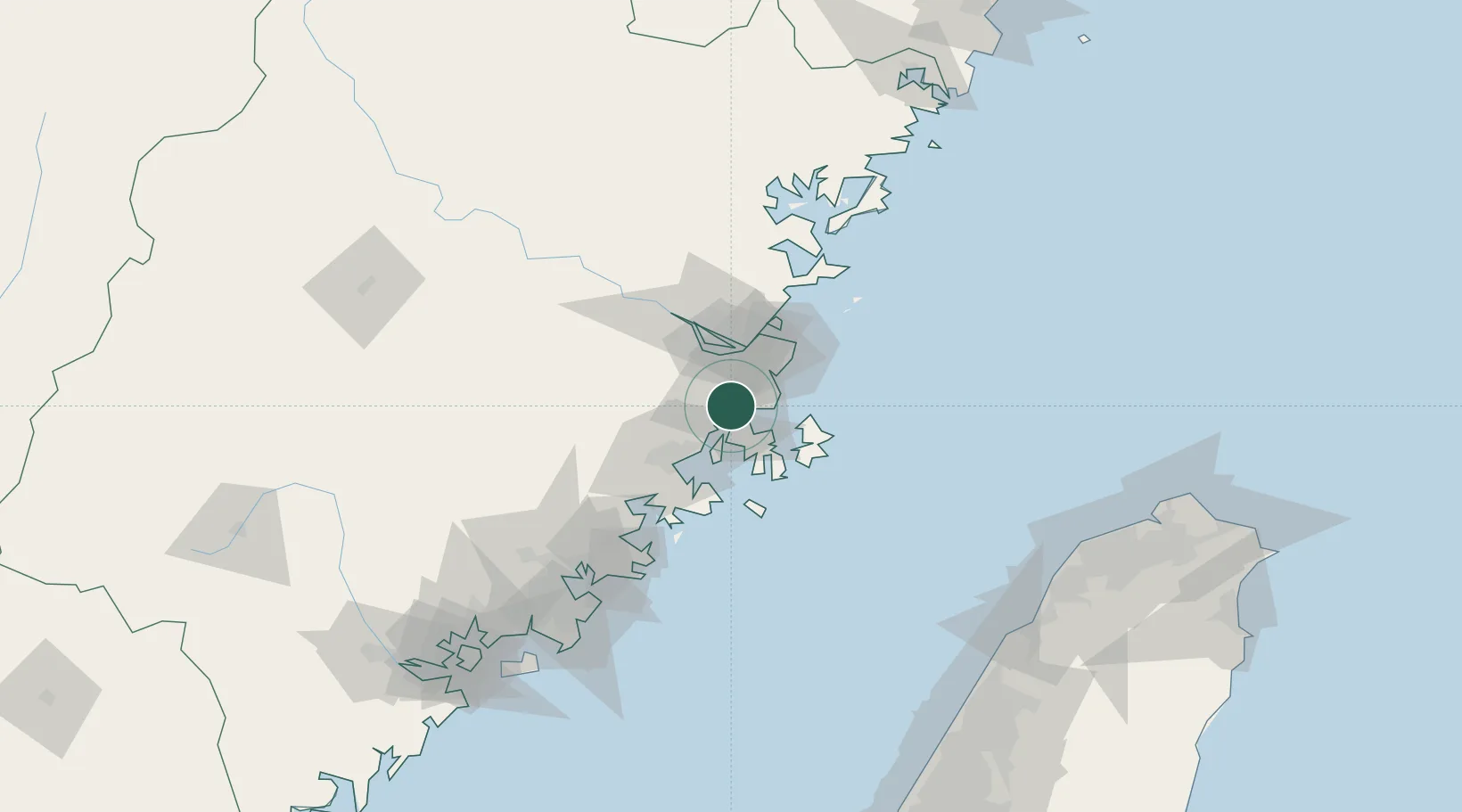
Location
Nearby Logistics Neighbours
Cities
- 1Songxia Pt20 km
- 2Fuzhou20 km
- 3Qingpu20 km
- 4Jiangyin27 km
- 5Mawei Pt32 km
Ports
- 1Fuzhou43 km
- 2Xiuyu66 km
- 3Quanzhou120 km
- 4Zhangzhou168 km
- 5Tai-Chung Kang192 km
Airports
- 1Longtian Air Base16 km
- 2Fuzhou Air Base35 km
- 3Fuzhou Changle International Airport39 km
- 4Fuzhou Zhuqi Heliport54 km
- 5Matsu Nangan Airport77 km
Trade Zones
DatabookThe Record of Consolidated Knowledge
China beyond logistics?