Export Processing Zone · China

Wuhan Export Processing Zone Active
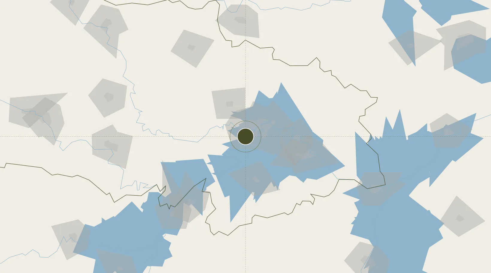
30.4760°, 114.1530°
1,000 ha
Zone area
17.3 km
Nearest port
26.0 km
Nearest airport

Gateway access

Nearest neighbours — logibook spatial index (haversine) over the source coordinates

Zone profile

Zone type
Export Processing Zone
the World Bank SEZ database
Region
Hubei
the World Bank SEZ database
Status
Active
the World Bank SEZ database
Established
2002
the World Bank SEZ database
Management
Public agency
the World Bank SEZ database
Operator
Administrative Committee of Wuhan Export Processing Zone
the World Bank SEZ database
Regulatory authority
Administrative Commission
the World Bank SEZ database
Legal framework
State or Provincial Council Decree
the World Bank SEZ database

Location

Location of CHN53
Natural Earth 10m (public domain) · Hubei · CHN53 · 30.48, 114.15GoogleOSMYandex

Fiscal & incentives

Corporate tax
25%
the World Bank SEZ database
Tax relief
Reduced fixed-rate at 15% for high-tech enterprises
the World Bank SEZ database
Relief duration
Perpetual
the World Bank SEZ database
VAT
100% exempt on VAT on inputs and capex; reduced fixed-rate VAT at 13% for agricultural-related activities
the World Bank SEZ database
Import duty (inputs)
100% exempt
the World Bank SEZ database
Import duty (capex)
100% exempt
the World Bank SEZ database
Profit repatriation
No exemption
the World Bank SEZ database
Capital gains
No exemption
the World Bank SEZ database
Withholding tax
No exemption
the World Bank SEZ database
Min. investment
None
the World Bank SEZ database
Min. export
100%
the World Bank SEZ database
Employment incentive
No exemption
the World Bank SEZ database
Developer incentive
Under review
the World Bank SEZ database

Nearby Logistics Neighbours

Ports
  1. 1Hankow17 km
  2. 2Nanjing472 km
  3. 3Zhenjiang537 km
  4. 4Yangzhou539 km
  5. 5Gaogang577 km
Nearest neighbours — logibook spatial index (haversine) over the source coordinates
Airports
  1. 1Wuhan Hannan Municipal Airport26 km
  2. 2Wuhan Tianhe International Airport34 km
  3. 3Shanpo Air Base46 km
  4. 4Paozhuwan Air Base51 km
  5. 5Xiaogan Air Base58 km
Nearest neighbours — logibook spatial index (haversine) over the source coordinates
Cities
  1. 1Hankou16 km
  2. 2Wuhan17 km
  3. 3Ezhou64 km
  4. 4Huangshi Pt96 km
  5. 5Yueyang150 km
Nearest neighbours — logibook spatial index (haversine) over the source coordinates
Trade Zones
  1. 1Hannan Economic Development Zone16 km
  2. 2Hongshan Economic Development Zone16 km
  3. 3Jianghan Economic Development Zone19 km
  4. 4Jiangan Economic Development Zone22 km
  5. 5Qingshan Economic Development Zone32 km
Nearest neighbours — logibook spatial index (haversine) over the source coordinates
DatabookThe Record of Consolidated Knowledge
China beyond logistics?
Browse databook

All Sources

Trade Zonesthe World Bank SEZ database
CC BY 4.0
Portsthe NGA World Port Index
Public domain (US gov)
AirportsOurAirports
Public domain
LocationsUN/LOCODE
UN/LOCODE — free
← China trade zones