Large airport · Macao SAR China

Macau International AirportVMMC
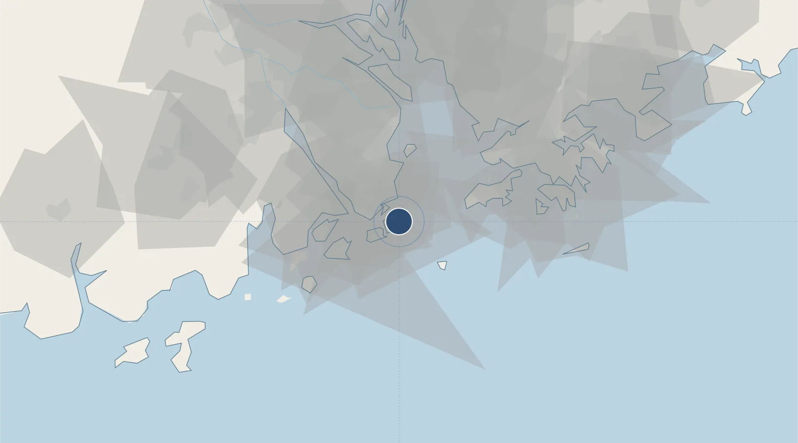
22.1496°, 113.5920°
10,544 ft
Longest runway
1
Runways
20 ft
Elevation

Runway & Layout

Macau International Airport runway & taxiway layout
Runway & taxiway layout — OpenStreetMap (ODbL) / OurAirports

Radio Frequencies

ATIS
126.4 MHz
TWR
118 MHz
GND
121.725 MHz
APP
126.3 MHz
HONG KONG RDR
OurAirports

Navaids

MCU VOR-DME Macau 116.40 MHz
ZAO VOR Jiuzhou 117.20 MHz
OurAirports

Runways · 1

RunwayDimensions SurfaceTrue headingLit
16/34 10,544 × 148ft Concrete 160°
OurAirports

Airport Specifications

IATA code
MFM
OurAirports
ICAO code
VMMC
OurAirports
Airport class
Large airport
OurAirports
Scheduled service
Yes
OurAirports
Runway surface
Concrete
OurAirports
Served city
Nossa Senhora do Carmo
OurAirports

Location

Location of VMMC
Natural Earth 10m (public domain) · Guangdong · VMMC · 22.15, 113.59GoogleOSMYandex

Nearby Logistics Neighbours

Airports
  1. 1Zhuhai Jinwan Airport27 km
  2. 2Hong Kong International Airport38 km
  3. 3Shenzhen Bao'an International Airport59 km
  4. 4Shek Kong Air Base60 km
  5. 5Shun Tak Heliport60 km
Nearest neighbours — logibook spatial index (haversine) over the source coordinates
Cities
  1. 1Macau6 km
  2. 2Wanzai9 km
  3. 3Qianshan/Zhuhai12 km
  4. 4Doumen Pt12 km
  5. 5Zhuhai13 km
Nearest neighbours — logibook spatial index (haversine) over the source coordinates
Ports
  1. 1Macau5 km
  2. 2Zhuhai9 km
  3. 3Shekou45 km
  4. 4Hong Kong64 km
  5. 5Yantian85 km
Nearest neighbours — logibook spatial index (haversine) over the source coordinates
Trade Zones
  1. 1Zhuhai Jinwan Liangang Industrial Park26 km
  2. 2Zhongshan Industrial Park47 km
  3. 3Zhongshan Industrial Park55 km
  4. 4Yuehai Equipment Industrial Park57 km
  5. 5Guangzhou Nansha Export Processing Zone61 km
Nearest neighbours — logibook spatial index (haversine) over the source coordinates
DatabookThe Record of Consolidated Knowledge
Macao SAR China beyond logistics?
Browse databook

All Sources

AirportsOurAirports
Public domain
Portsthe NGA World Port Index
Public domain (US gov)
LocationsUN/LOCODE
UN/LOCODE — free
Trade Zonesthe World Bank SEZ database
CC BY 4.0
Trade ZonesOpen Zone Map
CC BY
← Macao SAR China airports