Transport Functions
Port
Hub Profile
Place type
Populated place
Region
Guangdong
Time zone
Asia/Shanghai
Elevation
21 m
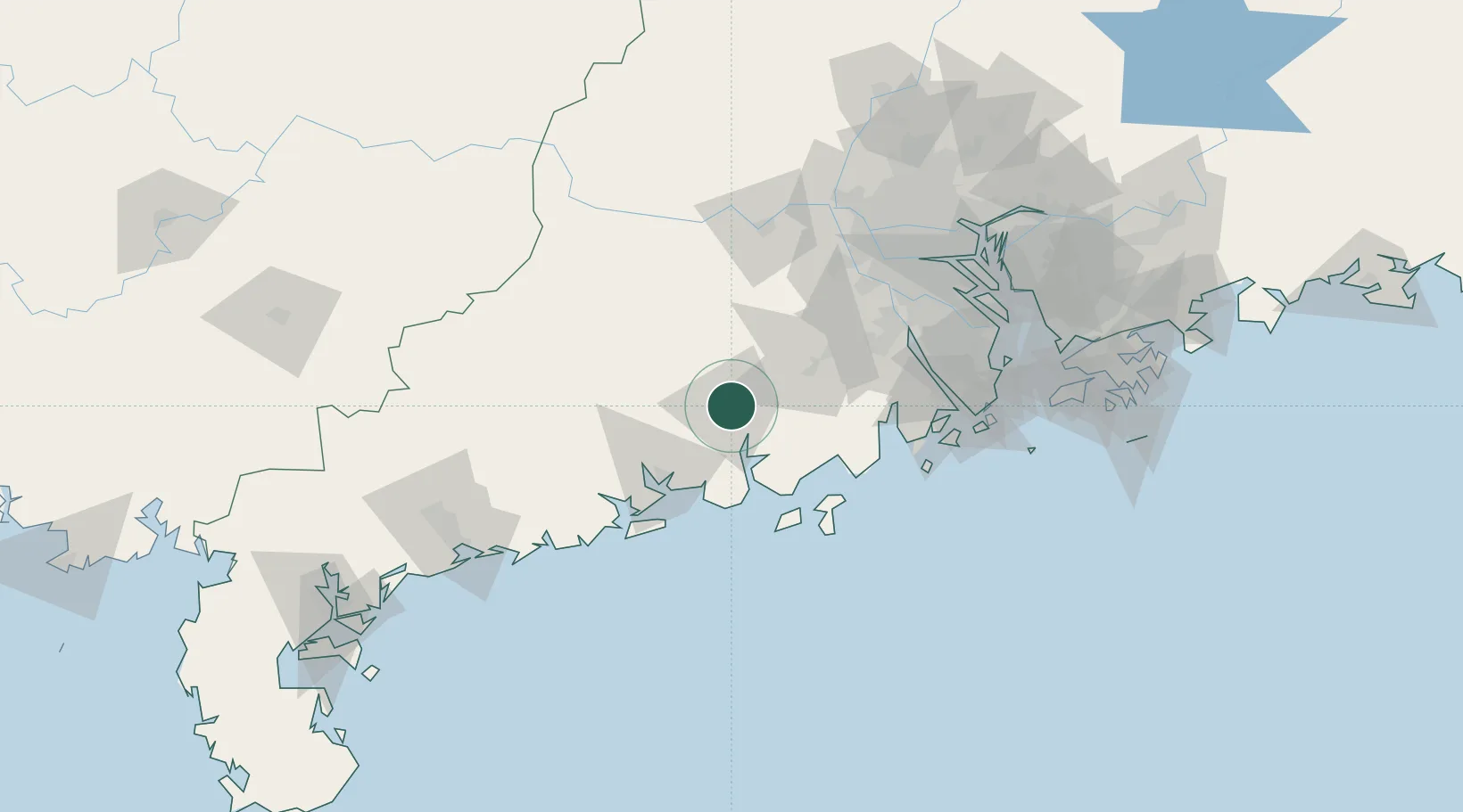
Location
Nearby Logistics Neighbours
Cities
- 1Sanbu Pt45 km
- 2Shuibu49 km
- 3Taishan54 km
- 4Dongping55 km
- 5Guanghai Pt56 km
Airports
- 1Zhuhai Jinwan Airport111 km
- 2Foshan Shadi Airport125 km
- 3Macau International Airport131 km
- 4Shenzhen Bao'an International Airport160 km
- 5Hong Kong International Airport165 km
DatabookThe Record of Consolidated Knowledge
China beyond logistics?