UN/LOCODE hub · China
CNJIU

Jiujiang

29.7205°, 115.9504°
1,164,268
Population
4
Transport functions

Transport Functions

Port
Rail
Road
Airport
UN/LOCODE

Hub Profile

Place type
Provincial seat
GeoNames
Region
Jiangxi
GeoNames
Population
1,164,268
GeoNames
Time zone
Asia/Shanghai
GeoNames
Elevation
41 m
GeoNames
Logistics facilities
4
UN/LOCODE

Location

Location of CNJIU
Natural Earth 10m (public domain) · Jiangxi · CNJIU · 29.72, 115.95GoogleOSMYandex

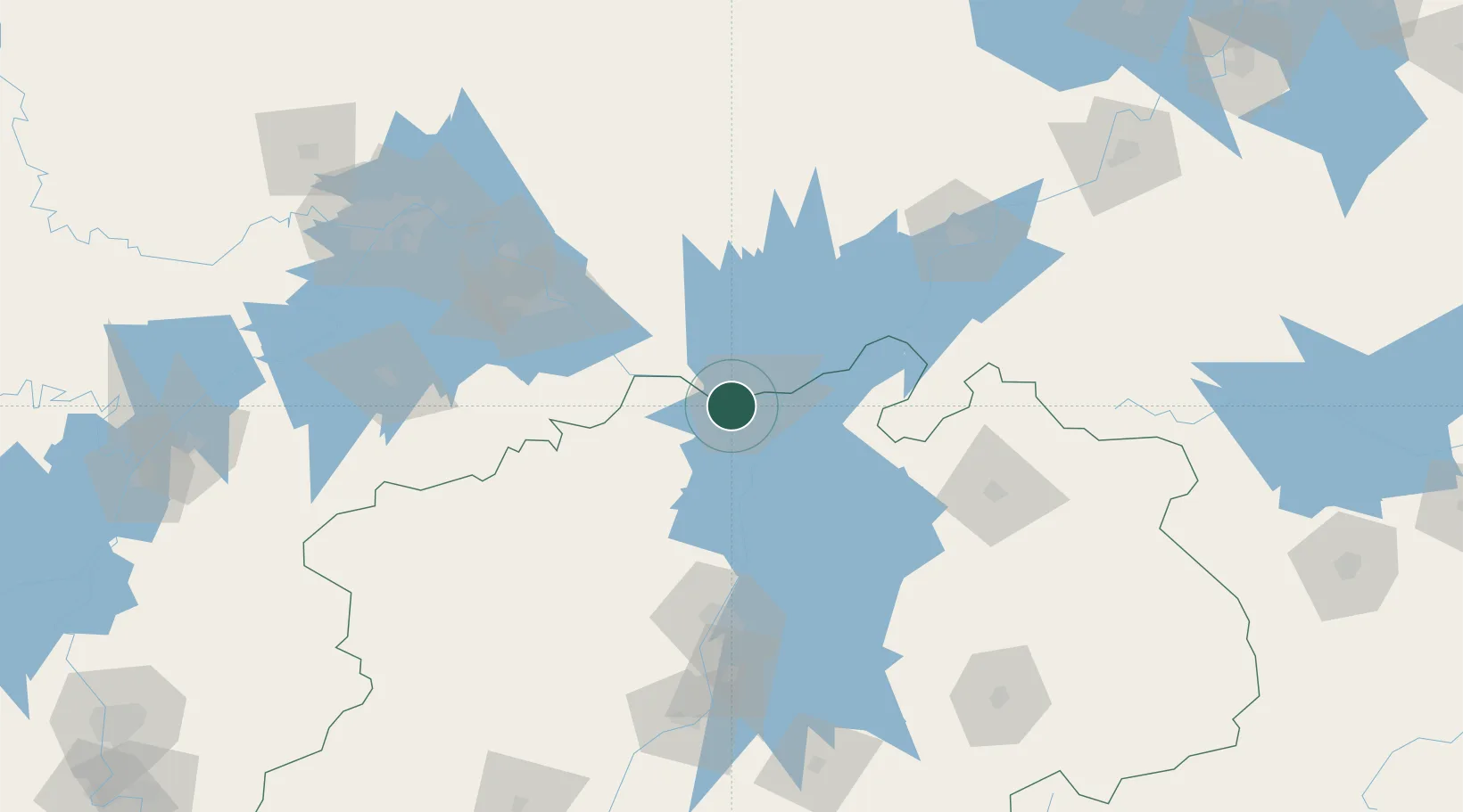
Nearby Logistics Neighbours

Cities
  1. 1Shipai95 km
  2. 2Huangshi Pt98 km
  3. 3Jingdezhen132 km
  4. 4Ezhou133 km
  5. 5Anqing137 km
Nearest neighbours — logibook spatial index (haversine) over the source coordinates
Ports
  1. 1Hankow187 km
  2. 2Nanjing375 km
  3. 3Zhenjiang433 km
  4. 4Yangzhou436 km
  5. 5Changzhou459 km
Nearest neighbours — logibook spatial index (haversine) over the source coordinates
Airports
  1. 1Jiujiang Lushan Airport31 km
  2. 2Nanchang Changbei International Airport95 km
  3. 3Ezhou Huahu International Airport112 km
  4. 4Jingdezhen Luojia Airport126 km
  5. 5Anqing Tianzhushan Airport / Anqing North Air Base143 km
Nearest neighbours — logibook spatial index (haversine) over the source coordinates
Trade Zones
  1. 1Jiujiang Export Processing Zone13 km
  2. 2Shacheng Industrial Park14 km
  3. 3Ruichang Industrial Zone24 km
  4. 4Lushan Industrial Park28 km
  5. 5Hukou High-tech Industrial Park34 km
Nearest neighbours — logibook spatial index (haversine) over the source coordinates
DatabookThe Record of Consolidated Knowledge
China beyond logistics?
Browse databook

All Sources

LocationsUN/LOCODE
UN/LOCODE — free
LocationsGeoNames
CC BY 4.0
Portsthe NGA World Port Index
Public domain (US gov)
AirportsOurAirports
Public domain
Trade Zonesthe World Bank SEZ database
CC BY 4.0
Trade ZonesOpen Zone Map
CC BY
← China locations