UN/LOCODE hub · China
CNSPI

Shipai

30.3167°, 116.6500°
2
Transport functions

Transport Functions

Port
Road
UN/LOCODE

Hub Profile

Place type
Populated place
GeoNames
Region
Anhui
GeoNames
Time zone
Asia/Shanghai
GeoNames
Elevation
20 m
GeoNames

Location

Location of CNSPI
Natural Earth 10m (public domain) · Anhui · CNSPI · 30.32, 116.65GoogleOSMYandex

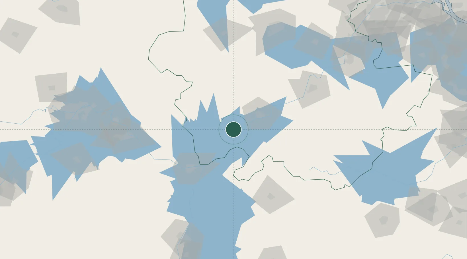
Nearby Logistics Neighbours

Cities
  1. 1Anqing43 km
  2. 2Jiujiang95 km
  3. 3Jingdezhen127 km
  4. 4Tongling130 km
  5. 5Huangshi Pt149 km
Nearest neighbours — logibook spatial index (haversine) over the source coordinates
Ports
  1. 1Hankow229 km
  2. 2Nanjing280 km
  3. 3Zhenjiang339 km
  4. 4Yangzhou342 km
  5. 5Changzhou366 km
Nearest neighbours — logibook spatial index (haversine) over the source coordinates
Airports
  1. 1Anqing Tianzhushan Airport / Anqing North Air Base48 km
  2. 2Chizhou Jiuhuashan Airport110 km
  3. 3Jingdezhen Luojia Airport120 km
  4. 4Jiujiang Lushan Airport124 km
  5. 5Ezhou Huahu International Airport155 km
Nearest neighbours — logibook spatial index (haversine) over the source coordinates
Trade Zones
  1. 1Wangjiang Economic Development Zone23 km
  2. 2Taihu Economic Development Zone33 km
  3. 3Dongzhi Economic Development Zone34 km
  4. 4Qianshan Industrial Park35 km
  5. 5Anqing Daguan Economic Development Zone36 km
Nearest neighbours — logibook spatial index (haversine) over the source coordinates
DatabookThe Record of Consolidated Knowledge
China beyond logistics?
Browse databook

All Sources

LocationsUN/LOCODE
UN/LOCODE — free
Portsthe NGA World Port Index
Public domain (US gov)
AirportsOurAirports
Public domain
Trade Zonesthe World Bank SEZ database
CC BY 4.0
Trade ZonesOpen Zone Map
CC BY
← China locations