Diversified Zone · China

Xisaishan Industrial Park Active

30.2132°, 115.1824°
5,955 ha
Zone area
95.5 km
Nearest port
19.8 km
Nearest airport

Gateway access

Nearest neighbours — logibook spatial index (haversine) over the source coordinates

Zone profile

Zone type
Diversified Zone
Open Zone Map
Region
Hubei
Open Zone Map
Status
Active
Open Zone Map
Management
Public
Open Zone Map
Operator
Xisaishan Industrial Park Management Committee
Open Zone Map
Legal framework
In 1992, it was established with the approval of Wuzheng [1992] No. 70 document of Wuhan Municipal People's Government
Open Zone Map

Location

Location of ozm-952
Natural Earth 10m (public domain) · Hubei · ozm-952 · 30.21, 115.18GoogleOSMYandex

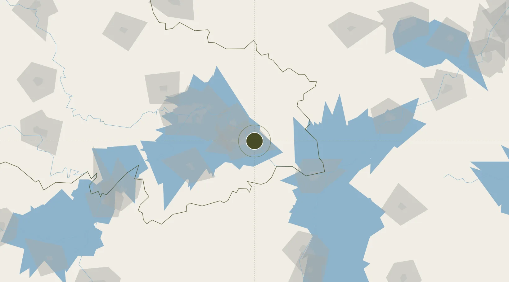
Nearby Logistics Neighbours

Ports
  1. 1Hankow96 km
  2. 2Nanjing398 km
  3. 3Zhenjiang462 km
  4. 4Yangzhou464 km
  5. 5Changzhou497 km
Nearest neighbours — logibook spatial index (haversine) over the source coordinates
Airports
  1. 1Ezhou Huahu International Airport20 km
  2. 2Paozhuwan Air Base74 km
  3. 3Shanpo Air Base85 km
  4. 4Jiujiang Lushan Airport101 km
  5. 5Wuhan Hannan Municipal Airport108 km
Nearest neighbours — logibook spatial index (haversine) over the source coordinates
Cities
  1. 1Huangshi Pt8 km
  2. 2Ezhou41 km
  3. 3Jiujiang92 km
  4. 4Wuhan96 km
  5. 5Hankou97 km
Nearest neighbours — logibook spatial index (haversine) over the source coordinates
DatabookThe Record of Consolidated Knowledge
China beyond logistics?
Browse databook

All Sources

Trade ZonesOpen Zone Map
CC BY
Portsthe NGA World Port Index
Public domain (US gov)
AirportsOurAirports
Public domain
LocationsUN/LOCODE
UN/LOCODE — free
← China trade zones