Transport Functions
Port
Hub Profile
Place type
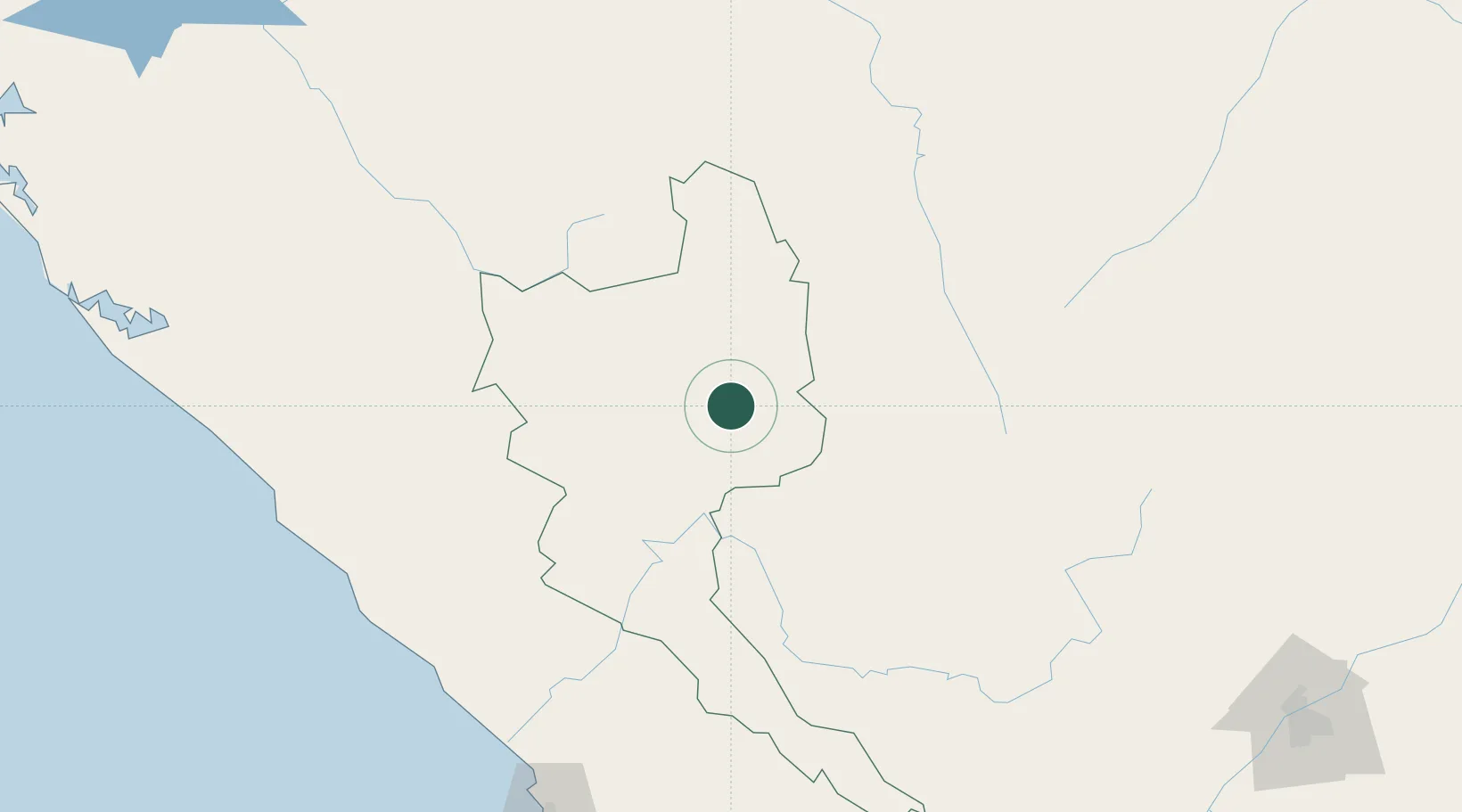
Populated place
Region
Niari
Time zone
Africa/Brazzaville
Elevation
458 m
Location
Nearby Logistics Neighbours
Cities
- 1Mbinda95 km
- 2Dolisie139 km
- 3Pointe Noire228 km
- 4Futila Terminal286 km
- 5Cabinda296 km
Ports
- 1M'bya Oil Terminal223 km
- 2Pointe Noire227 km
- 3Djeno Terminal239 km
- 4Etame Terminal259 km
- 5Takula Terminal274 km
Airports
Trade Zones
DatabookThe Record of Consolidated Knowledge
Congo - Brazzaville beyond logistics?