Medium airport · Congo - Kinshasa

Bandundu AirportFZBO
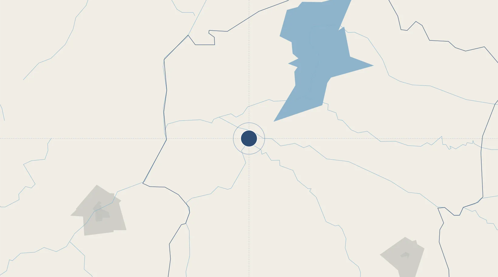
-3.3113°, 17.3817°
4,528 ft
Longest runway
1
Runways
1,063 ft
Elevation

Runway & Layout

Bandundu Airport runway & taxiway layout
Runway & taxiway layout — OpenStreetMap (ODbL) / OurAirports

Radio Frequencies

A/G
118.3 MHz
A/G VOICE RDO
OurAirports

Navaids

BAN NDB Bandundu 385 kHz
OurAirports

Runways · 1

RunwayDimensions SurfaceTrue headingLit
11/29 4,528 × 98ft Asphalt 106°
OurAirports

Airport Specifications

IATA code
FDU
OurAirports
ICAO code
FZBO
OurAirports
Airport class
Medium airport
OurAirports
Scheduled service
Yes
OurAirports
Runway surface
Asphalt
OurAirports
Served city
Bandundu
OurAirports

Location

Location of FZBO
Natural Earth 10m (public domain) · Bandundu · FZBO · -3.31, 17.38GoogleOSMYandex

Nearby Logistics Neighbours

Airports
  1. 1Inongo Airport182 km
  2. 2Ndjili International Airport246 km
  3. 3Kikwit Airport247 km
  4. 4Ndolo Airport254 km
  5. 5Maya-Maya International Airport258 km
Nearest neighbours — logibook spatial index (haversine) over the source coordinates
Cities
  1. 1Mossaka242 km
  2. 2Kinshasa254 km
  3. 3Oyo507 km
  4. 4Matadi518 km
  5. 5Mbinda519 km
Nearest neighbours — logibook spatial index (haversine) over the source coordinates
Ports
  1. 1Matadi517 km
  2. 2Boma557 km
  3. 3Futila Terminal623 km
  4. 4Cabinda625 km
  5. 5Banana629 km
Nearest neighbours — logibook spatial index (haversine) over the source coordinates
Trade Zones
  1. 1Maluku Special Economic Zone222 km
  2. 2Oyo-Ollombo Special Economic Zone284 km
  3. 3Brazzaville Special Economic Zone288 km
  4. 4Boumango Special Economic Zone435 km
  5. 5Ouesso Special Economic Zone565 km
Nearest neighbours — logibook spatial index (haversine) over the source coordinates
DatabookThe Record of Consolidated Knowledge
Congo - Kinshasa beyond logistics?
Browse databook

All Sources

AirportsOurAirports
Public domain
Portsthe NGA World Port Index
Public domain (US gov)
LocationsUN/LOCODE
UN/LOCODE — free
Trade Zonesthe World Bank SEZ database
CC BY 4.0
Trade ZonesOpen Zone Map
CC BY
InfrastructureOpenStreetMap
ODbL 1.0
← Congo - Kinshasa airports