Transport Functions
Port
Road
Hub Profile
Place type
Populated place
Region
British Columbia
Time zone
America/Vancouver
Elevation
782 m
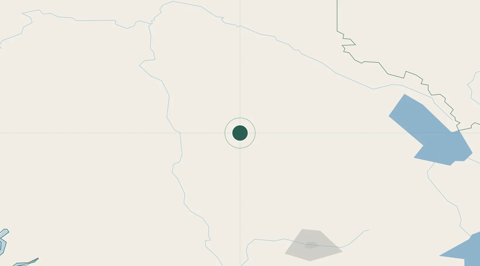
Location
Nearby Logistics Neighbours
Cities
- 1100 Mile House (One Hundred Mile House)78 km
- 2Lone Butte88 km
- 3Clearwater121 km
- 4Clinton140 km
- 5Lillooet187 km
Ports
- 1Port Mellon345 km
- 2Port Moody354 km
- 3Port Coquitlam358 km
- 4Mission City359 km
- 5Vancouver360 km
Airports
- 1Williams Lake Airport47 km
- 2Quesnel Airport107 km
- 3Blue River Airport147 km
- 4Cache Creek-Ashcroft Regional Airport173 km
- 5Prince George (International) Airport192 km
Trade Zones
- 1PrInce George Logistics Park197 km
- 2FTZ Vancouver Island363 km
- 3FTZ No. 128 Whatcom County400 km
- 4FTZ No. 129 Bellingham406 km
- 5FTZ No. 085 Everett485 km
DatabookThe Record of Consolidated Knowledge
Canada beyond logistics?