Medium airport · Canada
Prince George (International) AirportCYXS
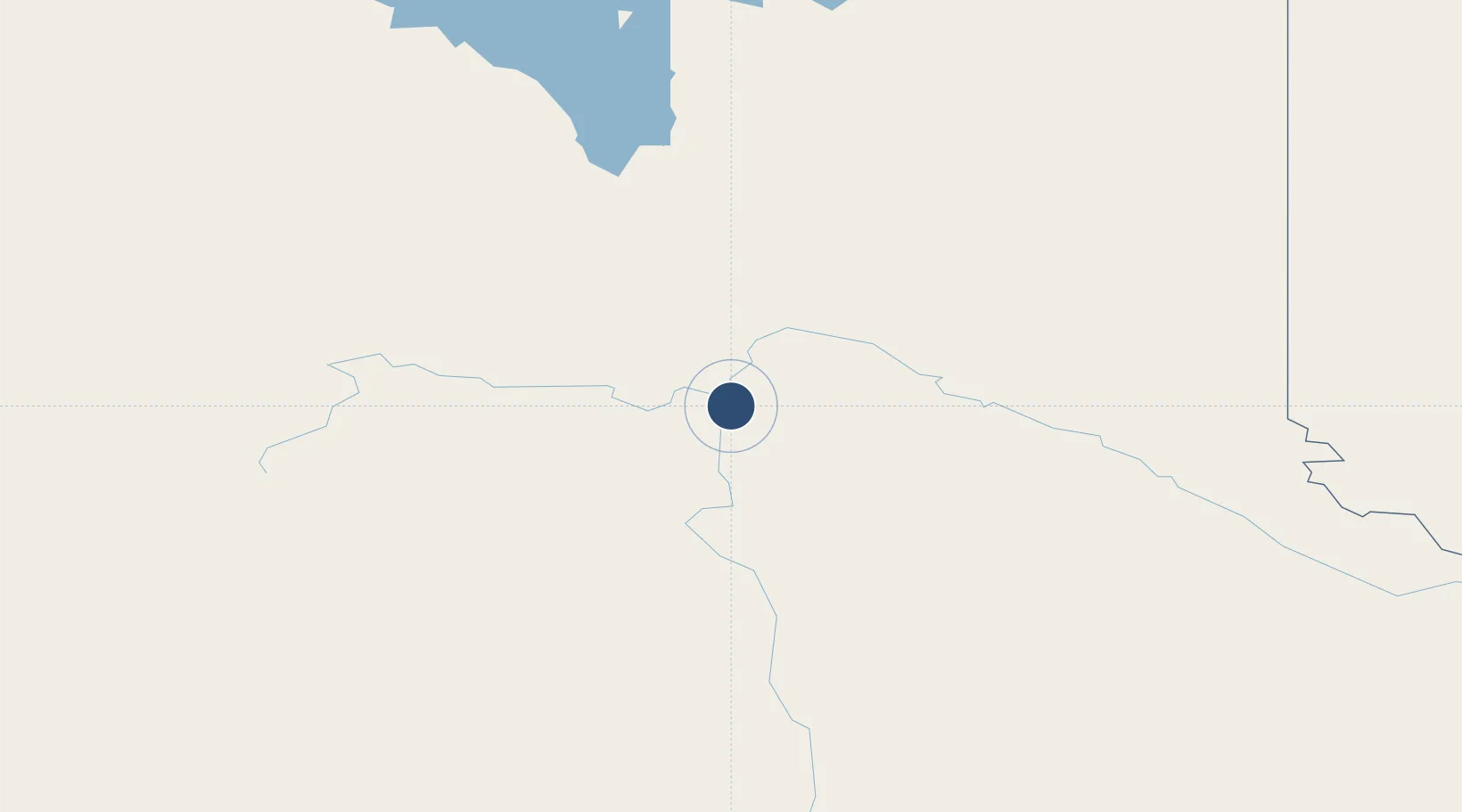
53.8843°, -122.6666°
11,450 ft
Longest runway
3
Runways
2,267 ft
Elevation
Runway & Layout

Radio Frequencies
ATIS
128.725 MHz
Automatic Terminal Information Service , 14-07Z
AWOS
128.725 MHz
Automatic Weather Observation Station, 07-14Z
TWR
118.3 MHz
Prince George Tower, 14-07Z, (V)
GND
121.9 MHz
Prince George Ground, 14-07Z
MF
118.3 MHz
Prince George Radio, 07-14Z, 5nm below 5500ASL
PAL
133.8 MHz
Vancouver Control
RCO
118.3 MHz
Williams Lake Radio, 07-14Z
RCO
122.1 MHz
Pacific Radio (FISE)
RCO
126.7 MHz
Prince George Radio (FISE)
Navaids
XS NDB Prince George 272 kHz
YXS VOR-DME Prince George 112.30 MHz
ZXS NDB Northwood 260 kHz
Runways · 3
| Runway | Dimensions | Surface | True heading | Lit |
|---|---|---|---|---|
| 15/33 | 11,450 × 150ft | Asphalt | 170° | ✓ |
| 06/24 | 5,624 × 150ft | Asphalt | 079° | ✓ |
| 01/19 | 3,769 × 75ft | Asphalt | 031° | — |
Airport Specifications
IATA code
YXS
ICAO code
CYXS
Airport class
Medium airport
Scheduled service
Yes
Runway surface
Asphalt
Served city
Prince George
Location
Nearby Logistics Neighbours
Airports
- 1Quesnel Airport96 km
- 2Mackenzie Airport160 km
- 3Williams Lake Airport194 km
- 4Chetwynd Airport211 km
- 5Burns Lake Airport221 km
Cities
- 1Prince George6 km
- 2Vanderhoof90 km
- 3Endako155 km
- 4Horsefly192 km
- 5Hythe257 km
Ports
- 1Bella Coola323 km
- 2Duncan Bay461 km
- 3Alert Bay468 km
- 4Port Mcneill474 km
- 5Port Mellon489 km
Trade Zones
- 1PrInce George Logistics Park7 km
- 2FTZ Vancouver Island517 km
- 3FTZ No. 128 Whatcom County564 km
- 4FTZ No. 129 Bellingham571 km
- 5FTZ No. 085 Everett655 km
DatabookThe Record of Consolidated Knowledge
Canada beyond logistics?