UN/LOCODE hub · Canada
CAHOS

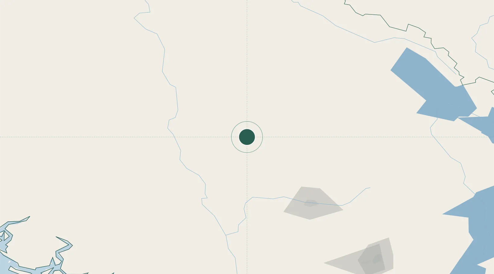
100 Mile House (One Hundred Mile House)

51.6333°, -121.2833°
3
Transport functions

Transport Functions

Rail
Road
Airport
UN/LOCODE

Hub Profile

Region
BC
GeoNames

Location

Location of CAHOS
Natural Earth 10m (public domain) · BC · CAHOS · 51.63, -121.28GoogleOSMYandex

Nearby Logistics Neighbours

Cities
  1. 1Lone Butte11 km
  2. 2Clinton65 km
  3. 3Horsefly78 km
  4. 4Clearwater86 km
  5. 5Lillooet115 km
Nearest neighbours — logibook spatial index (haversine) over the source coordinates
Ports
  1. 1Port Mellon282 km
  2. 2Port Moody285 km
  3. 3Mission City285 km
  4. 4Port Coquitlam287 km
  5. 5Fraser Mills290 km
Nearest neighbours — logibook spatial index (haversine) over the source coordinates
Airports
  1. 1Williams Lake Airport81 km
  2. 2Cache Creek-Ashcroft Regional Airport96 km
  3. 3Kamloops John Moose Fulton Field Regional Airport119 km
  4. 4Blue River Airport148 km
  5. 5Quesnel Airport176 km
Nearest neighbours — logibook spatial index (haversine) over the source coordinates
Trade Zones
  1. 1PrInce George Logistics Park272 km
  2. 2FTZ Vancouver Island295 km
  3. 3FTZ No. 128 Whatcom County326 km
  4. 4FTZ No. 129 Bellingham332 km
  5. 5FTZ No. 085 Everett409 km
Nearest neighbours — logibook spatial index (haversine) over the source coordinates
DatabookThe Record of Consolidated Knowledge
Canada beyond logistics?
Browse databook

All Sources

LocationsUN/LOCODE
UN/LOCODE — free
Portsthe NGA World Port Index
Public domain (US gov)
AirportsOurAirports
Public domain
Trade Zonesthe World Bank SEZ database
CC BY 4.0
Trade ZonesOpen Zone Map
CC BY
← Canada locations