Transport Functions
Rail
Road
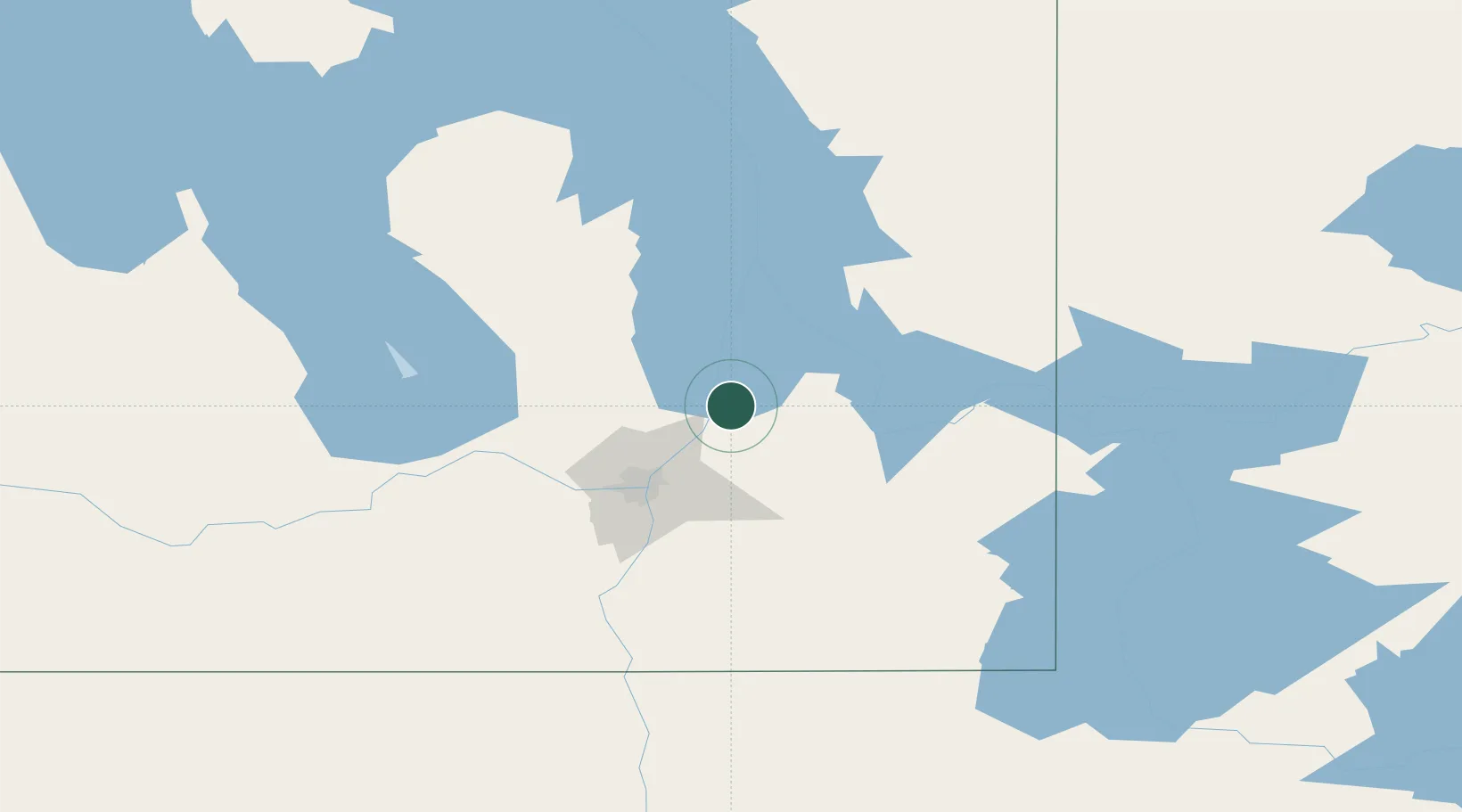
Hub Profile
Region
MB
Location
Nearby Logistics Neighbours
Cities
- 1Petersfield18 km
- 2Lockport26 km
- 3Beauséjour28 km
- 4Springfield39 km
- 5Gunton40 km
Ports
- 1Duluth517 km
- 2Two Harbors519 km
- 3Superior521 km
- 4Grand Marais543 km
- 5Thunder Bay580 km
Airports
Trade Zones
- 1Winnipegs Centreport Canada51 km
- 2FTZ No. 103 Grand Forks264 km
- 3FTZ No. 259 Koochiching County282 km
- 4FTZ No. 267 Fargo380 km
- 5FTZ No. 051 Duluth510 km
DatabookThe Record of Consolidated Knowledge
Canada beyond logistics?