Transport Functions
Rail
Road
Multimodal
Hub Profile
Place type
Populated place
Region
Saskatchewan
Time zone
America/Regina
Elevation
731 m
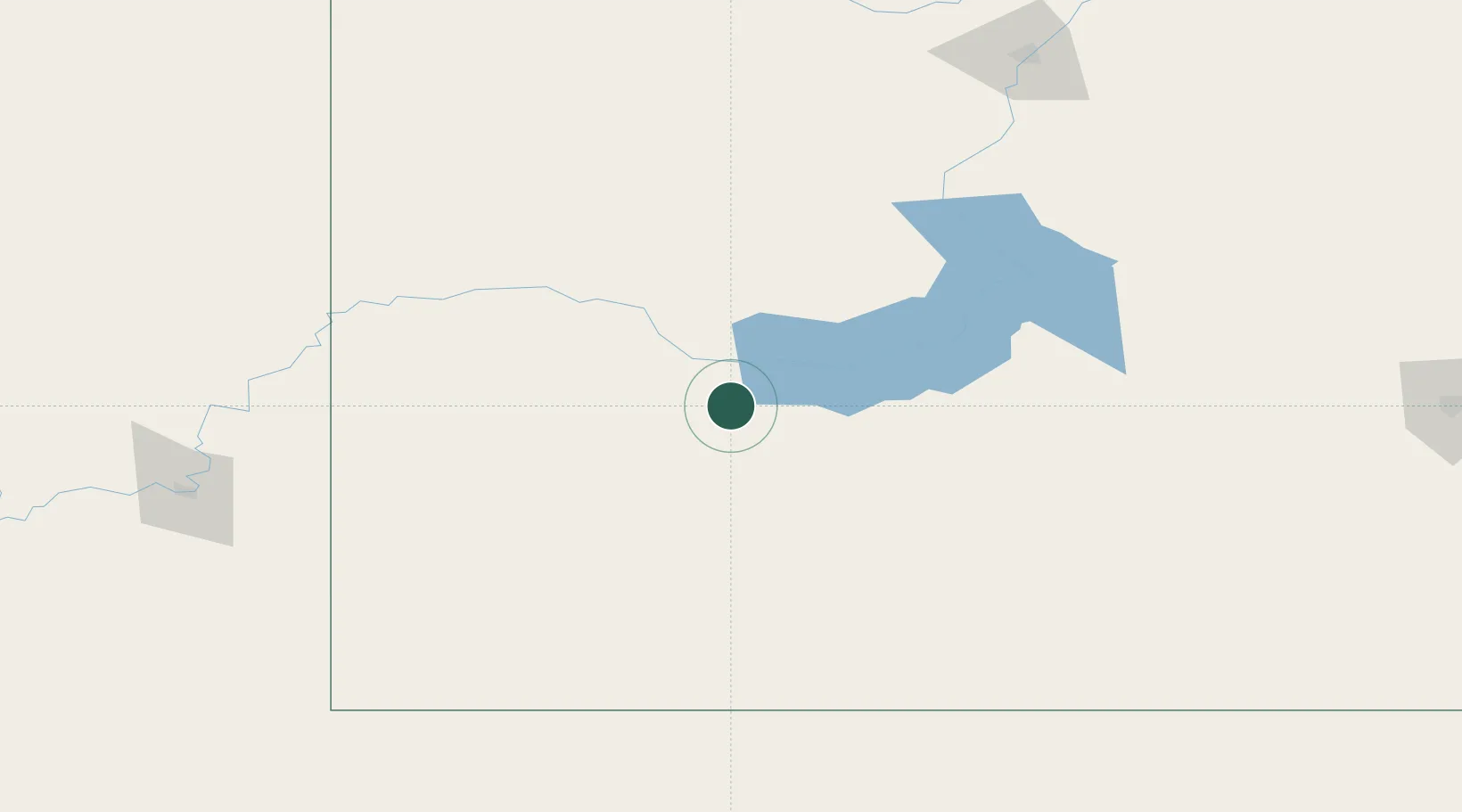
Location
Nearby Logistics Neighbours
Cities
- 1Cabri32 km
- 2Gull Lake48 km
- 3Beechy69 km
- 4Hodgeville89 km
- 5Shaunavon92 km
Ports
- 1Mission City1026 km
- 2Bellingham1054 km
- 3Port Coquitlam1060 km
- 4Everett1060 km
- 5Blaine1065 km
Airports
Trade Zones
- 1Global Transportation Hub Authority236 km
- 2FTZ No. 187 Toole County366 km
- 3FTZ No. 088 Great Falls409 km
- 4Calgary Region Inland Port426 km
- 5Port Alberta - Edmonton FTZ503 km
DatabookThe Record of Consolidated Knowledge
Canada beyond logistics?