Large airport · Canada
Saskatoon John G. Diefenbaker International AirportCYXE
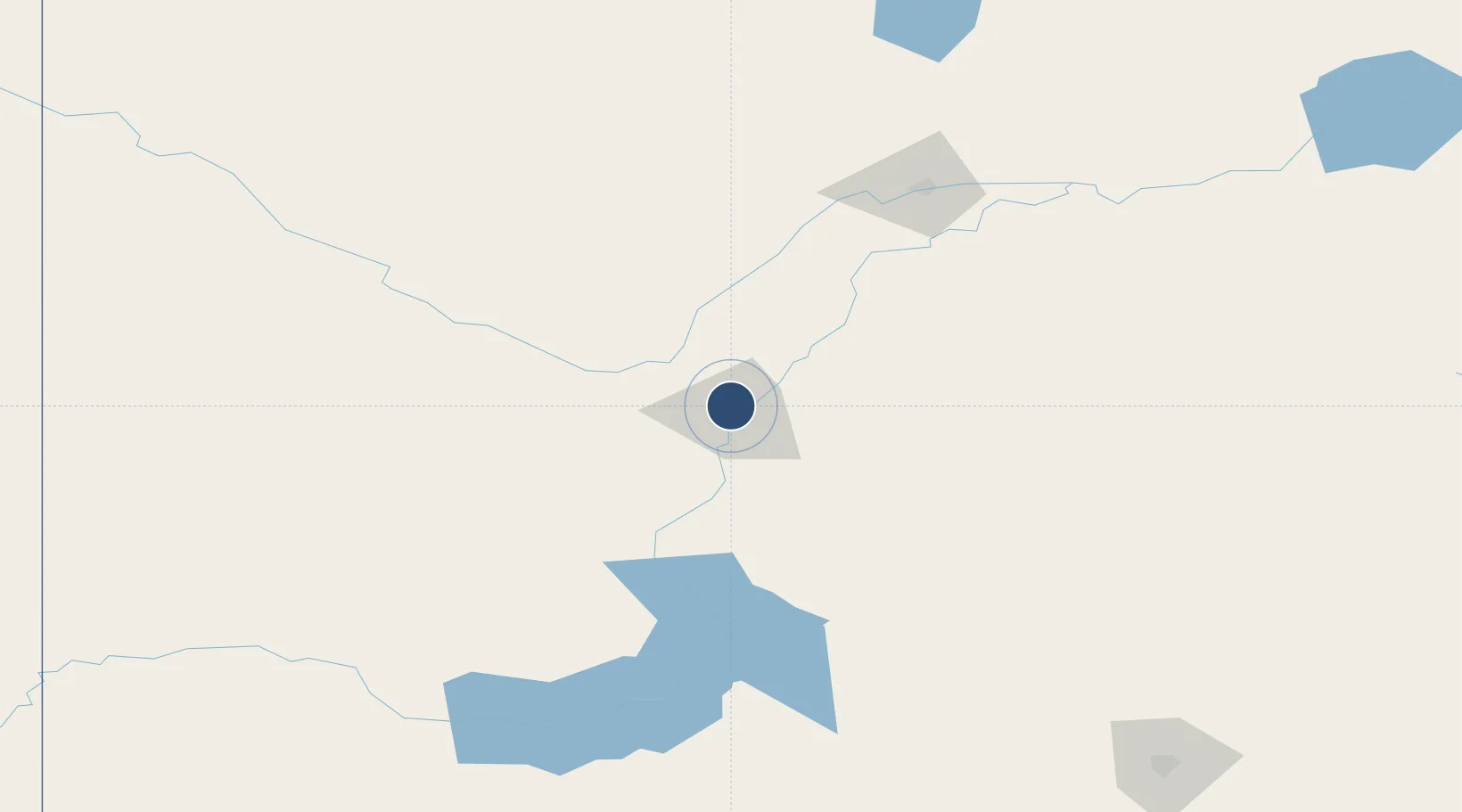
52.1707°, -106.7008°
8,300 ft
Longest runway
2
Runways
1,653 ft
Elevation
Runway & Layout

Radio Frequencies
ATIS
128.4 MHz
TWR
118.3 MHz
GND
121.9 MHz
A/D
119.9 MHz
APP/DEP
A/G
118.3 MHz
MF SASKATOON RDO
CNTR
134.325 MHz
WINNIPEG CNTR
RCO
122.5 MHz
EDMONTON RDO
Navaids
XE NDB Saskatoon 257 kHz
YXE VORTAC Saskatoon 116.20 MHz
ZSK NDB Moonlake 201 kHz
ZSS NDB Yellowhead 397 kHz
Runways · 2
| Runway | Dimensions | Surface | True heading | Lit |
|---|---|---|---|---|
| 09/27 | 8,300 × 200ft | Asphalt | 101° | ✓ |
| 15/33 | 6,200 × 150ft | Asphalt | 165° | ✓ |
Airport Specifications
IATA code
YXE
ICAO code
CYXE
Airport class
Large airport
Scheduled service
Yes
Runway surface
Asphalt
Served city
Saskatoon
Location
Nearby Logistics Neighbours
Airports
- 1North Battleford Airport124 km
- 2Prince Albert Glass Field135 km
- 3Kindersley Airport185 km
- 4Moose Jaw Air Vice Marshal C. M. McEwen Airport220 km
- 5Swift Current Airport220 km
Ports
- 1Churchill1075 km
- 2Mission City1145 km
- 3Port Coquitlam1175 km
- 4Bellingham1179 km
- 5Port Moody1181 km
Trade Zones
- 1Global Transportation Hub Authority235 km
- 2Port Alberta - Edmonton FTZ473 km
- 3Calgary Region Inland Port523 km
- 4FTZ No. 187 Toole County560 km
- 5FTZ No. 088 Great Falls620 km
DatabookThe Record of Consolidated Knowledge
Canada beyond logistics?