Transport Functions
Multimodal
Hub Profile
Place type
Populated place
Region
Saskatchewan
Time zone
America/Regina
Elevation
656 m
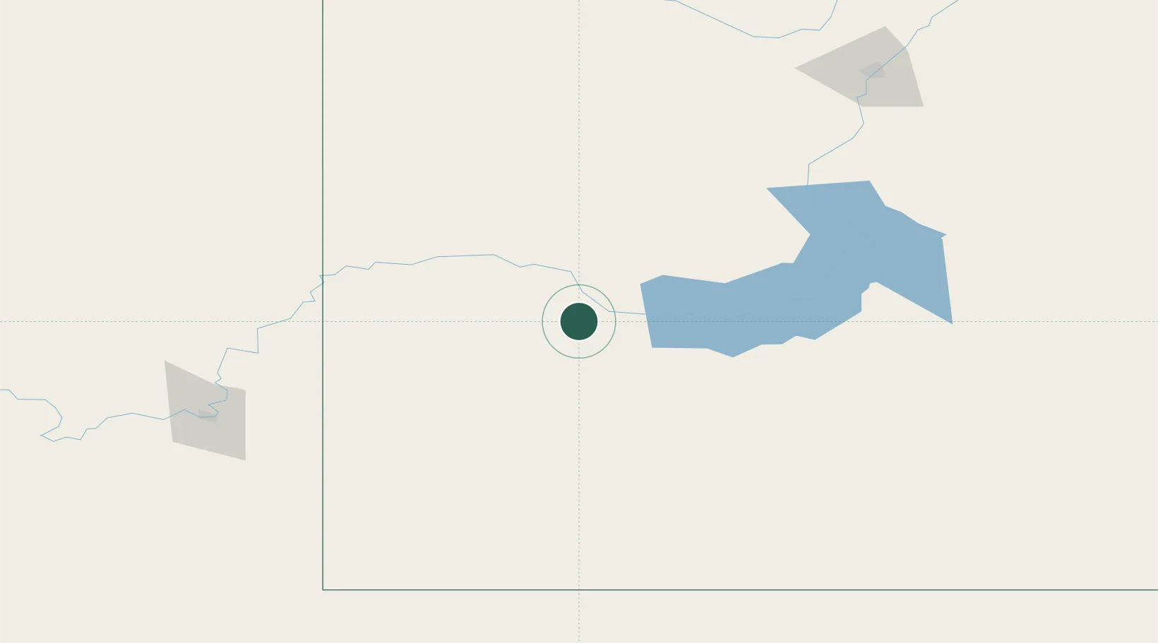
Location
Nearby Logistics Neighbours
Cities
- 1Success32 km
- 2Gull Lake58 km
- 3Beechy81 km
- 4Leader83 km
- 5Maple Creek107 km
Ports
- 1Mission City1001 km
- 2Bellingham1030 km
- 3Port Coquitlam1035 km
- 4Everett1038 km
- 5Blaine1040 km
Airports
Trade Zones
- 1Global Transportation Hub Authority262 km
- 2FTZ No. 187 Toole County356 km
- 3Calgary Region Inland Port397 km
- 4FTZ No. 088 Great Falls409 km
- 5Port Alberta - Edmonton FTZ472 km
DatabookThe Record of Consolidated Knowledge
Canada beyond logistics?