Medium airport · Canada
Moose Jaw Air Vice Marshal C. M. McEwen AirportCYMJ
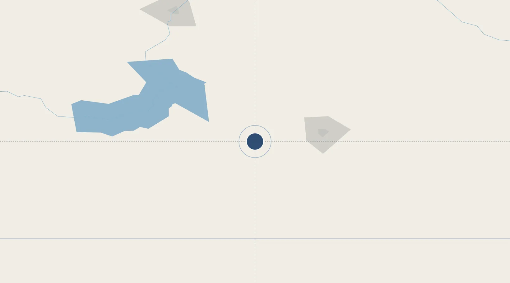
50.3303°, -105.5590°
8,326 ft
Longest runway
3
Runways
1,892 ft
Elevation
Runway & Layout

Radio Frequencies
ATIS
25.78 MHz
TWR
126.2 MHz
GND
121.8 MHz
CLD
135.3 MHz
CLNC DEL
DEP
119 MHz
ARR
28.94 MHz
ARR
38.13 MHz
ARR
119 MHz
OPS
23.01 MHz
WING OPS
PMSV
34.46 MHz
Navaids
BD NDB Baildon 375 kHz
YMJ VORTAC Moose Jaw 113.40 MHz
Runways · 3
| Runway | Dimensions | Surface | True heading | Lit |
|---|---|---|---|---|
| 11L/29R | 8,326 × 150ft | Asphalt | 118° | ✓ |
| 11R/29L | 7,280 × 150ft | Asphalt | 118° | ✓ |
| 03/21 | 3,400 × 100ft | Asphalt | 044° | ✓ |
Airport Specifications
IATA code
YMJ
ICAO code
CYMJ
Airport class
Medium airport
Scheduled service
No
Runway surface
Asphalt
Served city
Moose Jaw
Location
Nearby Logistics Neighbours
Airports
Cities
- 1Avonlea50 km
- 2Wilcox65 km
- 3Richardson79 km
- 4Emerald Park79 km
- 5Assiniboia85 km
Ports
- 1Duluth1065 km
- 2Superior1069 km
- 3Two Harbors1084 km
- 4Grand Marais1144 km
- 5Bayfield1151 km
Trade Zones
- 1Global Transportation Hub Authority59 km
- 2FTZ No. 187 Toole County523 km
- 3FTZ No. 088 Great Falls532 km
- 4Winnipegs Centreport Canada602 km
- 5Calgary Region Inland Port604 km
DatabookThe Record of Consolidated Knowledge
Canada beyond logistics?