Transport Functions
Rail
Road
Hub Profile
Place type
Populated place
Region
Saskatchewan
Time zone
America/Regina
Elevation
693 m
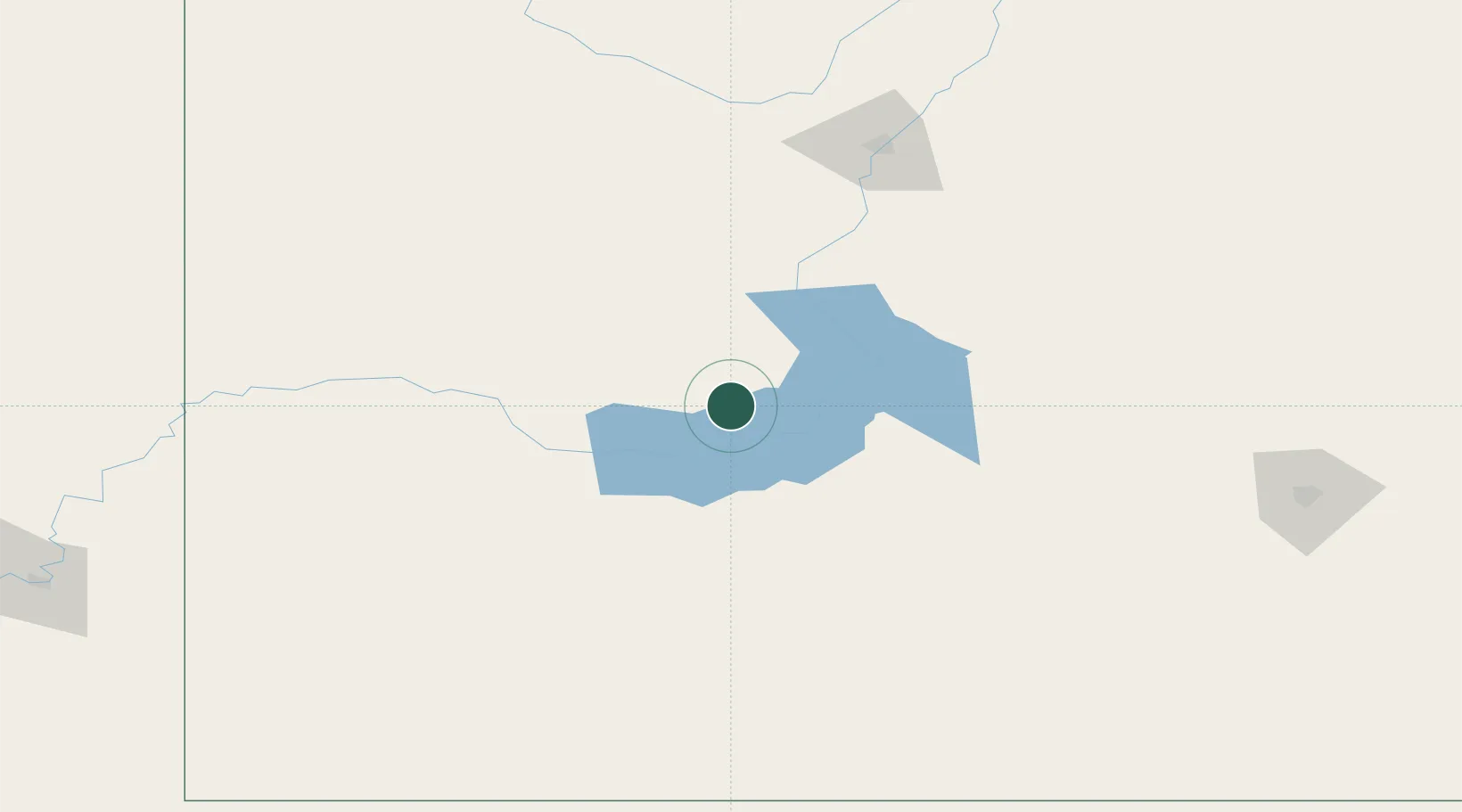
Location
Nearby Logistics Neighbours
Cities
- 1Success69 km
- 2Strongfield78 km
- 3Cabri81 km
- 4Ardath82 km
- 5Rosetown85 km
Ports
- 1Mission City1078 km
- 2Bellingham1108 km
- 3Port Coquitlam1111 km
- 4Everett1117 km
- 5Blaine1117 km
Airports
Trade Zones
- 1Global Transportation Hub Authority192 km
- 2FTZ No. 187 Toole County434 km
- 3Calgary Region Inland Port468 km
- 4FTZ No. 088 Great Falls478 km
- 5Port Alberta - Edmonton FTZ507 km
DatabookThe Record of Consolidated Knowledge
Canada beyond logistics?