Transport Functions
Rail
Road
Hub Profile
Place type
Populated place
Region
Saskatchewan
Time zone
America/Regina
Elevation
695 m
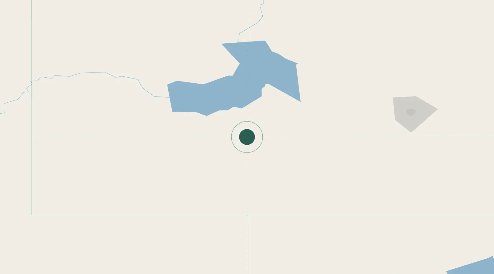
Location
Nearby Logistics Neighbours
Cities
- 1Gravelbourg39 km
- 2Assiniboia89 km
- 3Success89 km
- 4Beechy92 km
- 5Gull Lake109 km
Ports
- 1Mission City1106 km
- 2Bellingham1133 km
- 3Everett1135 km
- 4Port Coquitlam1140 km
- 5Mukilteo1142 km
Airports
Trade Zones
- 1Global Transportation Hub Authority161 km
- 2FTZ No. 187 Toole County421 km
- 3FTZ No. 088 Great Falls438 km
- 4Calgary Region Inland Port513 km
- 5Port Alberta - Edmonton FTZ588 km
DatabookThe Record of Consolidated Knowledge
Canada beyond logistics?