Small airport · Canada
Bloodvein River AirportCZTA
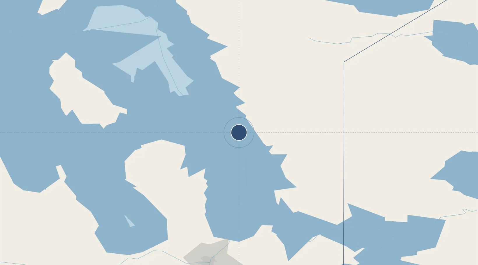
51.7846°, -96.6923°
3,000 ft
Longest runway
1
Runways
721 ft
Elevation
Runway & Layout

Runways · 1
| Runway | Dimensions | Surface | True heading | Lit |
|---|---|---|---|---|
| 18/36 | 3,000 × 75ft | CRUSHED ROCK | — | — |
Airport Specifications
IATA code
YDV
ICAO code
CZTA
Airport class
Small airport
Scheduled service
Yes
Runway surface
CRUSHED ROCK
Served city
Bloodvein River
Location
Nearby Logistics Neighbours
Airports
- 1Berens River Airport68 km
- 2Gimli Industrial Park Airport131 km
- 3Poplar Hill Airport171 km
- 4Lac du Bonnet Airport172 km
- 5Winnipeg / St. Andrews Airport194 km
Cities
- 1Riverton92 km
- 2Arborg107 km
- 3Pine Falls141 km
- 4Teulon161 km
- 5Petersfield166 km
Ports
- 1Grand Marais640 km
- 2Two Harbors643 km
- 3Duluth650 km
- 4Thunder Bay651 km
- 5Superior654 km
Trade Zones
- 1Winnipegs Centreport Canada212 km
- 2FTZ No. 259 Koochiching County425 km
- 3FTZ No. 103 Grand Forks432 km
- 4FTZ No. 267 Fargo549 km
- 5Global Transportation Hub Authority581 km
DatabookThe Record of Consolidated Knowledge
Canada beyond logistics?