Transport Functions
Rail
Road
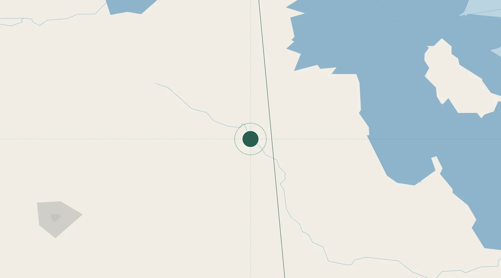
Hub Profile
Place type
Populated place
Region
Saskatchewan
Population
1,898
Time zone
America/Regina
Elevation
450 m
Location
Nearby Logistics Neighbours
Cities
- 1Canora38 km
- 2Roblin53 km
- 3Springside63 km
- 4Churchbridge72 km
- 5Rama79 km
Ports
- 1Duluth888 km
- 2Superior892 km
- 3Two Harbors897 km
- 4Grand Marais932 km
- 5Churchill940 km
Airports
Trade Zones
- 1Global Transportation Hub Authority234 km
- 2Winnipegs Centreport Canada382 km
- 3FTZ No. 103 Grand Forks528 km
- 4FTZ No. 267 Fargo633 km
- 5FTZ No. 259 Koochiching County653 km
DatabookThe Record of Consolidated Knowledge
Canada beyond logistics?