Small airport · Canada

Alert Bay AirportCYAL

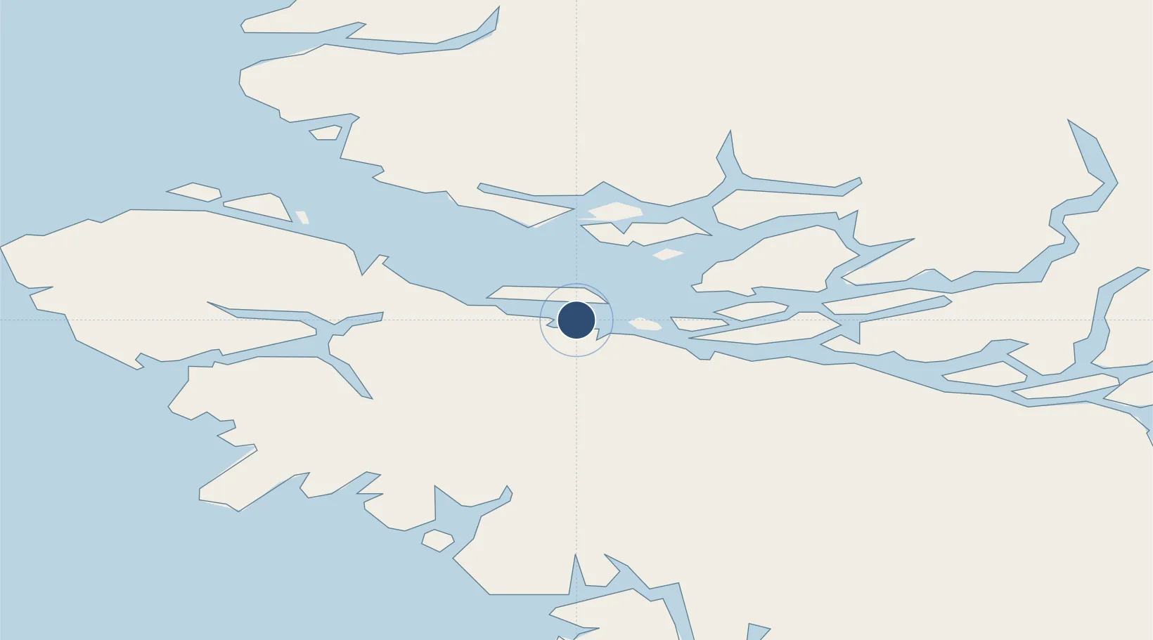
50.5822°, -126.9160°
2,900 ft
Longest runway
1
Runways
240 ft
Elevation

Runway & Layout

Alert Bay Airport runway & taxiway layout
Runway & taxiway layout — OpenStreetMap (ODbL) / OurAirports

Runways · 1

RunwayDimensions SurfaceTrue headingLit
09/27 2,900 × 75ft ASPHALT
OurAirports

Airport Specifications

IATA code
YAL
OurAirports
ICAO code
CYAL
OurAirports
Airport class
Small airport
OurAirports
Scheduled service
Yes
OurAirports
Runway surface
ASPHALT
OurAirports
Served city
Alert Bay
OurAirports

Location

Location of CYAL
Natural Earth 10m (public domain) · British Columbia · CYAL · 50.58, -126.92GoogleOSMYandex

Nearby Logistics Neighbours

Airports
  1. 1Port McNeill Airport8 km
  2. 2Greenway Sound Seaplane Base30 km
  3. 3Port Hardy Airport34 km
  4. 4Sullivan Bay Seaplane Base34 km
  5. 5Gilford Island/Echo Bay Seaplane Base37 km
Nearest neighbours — logibook spatial index (haversine) over the source coordinates
Cities
  1. 1Beaver Cove8 km
  2. 2Port McNeill13 km
  3. 3Coal Harbour47 km
  4. 4Sayward75 km
  5. 5Campbell River134 km
Nearest neighbours — logibook spatial index (haversine) over the source coordinates
Ports
  1. 1Alert Bay1 km
  2. 2Port Mcneill12 km
  3. 3Port Alice44 km
  4. 4Coal Harbor47 km
  5. 5Tahsis76 km
Nearest neighbours — logibook spatial index (haversine) over the source coordinates
Trade Zones
  1. 1FTZ Vancouver Island310 km
  2. 2FTZ No. 128 Whatcom County371 km
  3. 3FTZ No. 129 Bellingham375 km
  4. 4FTZ No. 173 Grays Harbor424 km
  5. 5FTZ No. 085 Everett445 km
Nearest neighbours — logibook spatial index (haversine) over the source coordinates
DatabookThe Record of Consolidated Knowledge
Canada beyond logistics?
Browse databook

All Sources

AirportsOurAirports
Public domain
Portsthe NGA World Port Index
Public domain (US gov)
LocationsUN/LOCODE
UN/LOCODE — free
Trade Zonesthe World Bank SEZ database
CC BY 4.0
Trade ZonesOpen Zone Map
CC BY
InfrastructureOpenStreetMap
ODbL 1.0
← Canada airports