Transport Functions
Multimodal
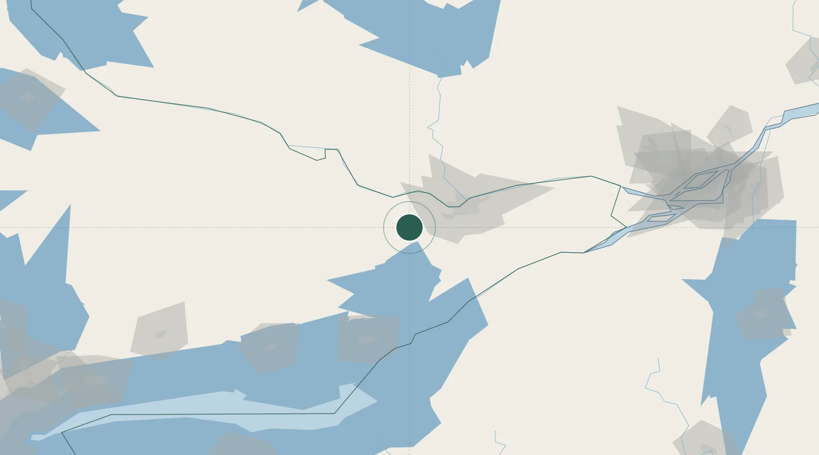
Hub Profile
Place type
Populated place
Region
Ontario
Population
5,039
Time zone
America/Toronto
Elevation
130 m
Location
Nearby Logistics Neighbours
Cities
- 1Stittsville23 km
- 2Richmond29 km
- 3Perth35 km
- 4Burritts Rapids43 km
- 5Renfrew47 km
Ports
- 1Hull46 km
- 2Ottawa46 km
- 3Gatineau52 km
- 4Masson71 km
- 5Cumberland71 km
Airports
Trade Zones
- 1FTZ No. 118 Ogdensburg78 km
- 2FTZ No. 109 Watertown139 km
- 3FTZ No. 090 Onondaga198 km
- 4Greater Montreal Free Zone Center209 km
- 5FTZ No. 172 Oneida County220 km
DatabookThe Record of Consolidated Knowledge
Canada beyond logistics?