Transport Functions
Port
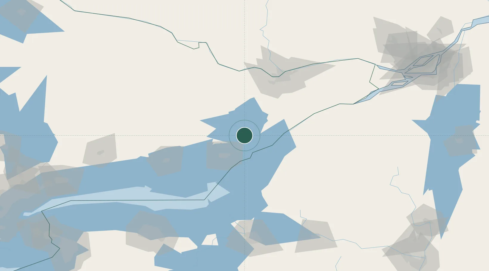
Hub Profile
Place type
Populated place
Region
Ontario
Time zone
America/Toronto
Elevation
73 m
Location
Nearby Logistics Neighbours
Cities
- 1Westport18 km
- 2Hartington34 km
- 3Perth39 km
- 4Odessa48 km
- 5Theresa53 km
Ports
- 1Gananoque25 km
- 2Alexandria Bay37 km
- 3Clayton39 km
- 4Kingston40 km
- 5Wolfe Island41 km
Airports
Trade Zones
- 1FTZ No. 118 Ogdensburg63 km
- 2FTZ No. 109 Watertown69 km
- 3FTZ No. 090 Onondaga124 km
- 4FTZ No. 172 Oneida County147 km
- 5FTZ No. 141 Monroe County196 km
DatabookThe Record of Consolidated Knowledge
Canada beyond logistics?