Transport Functions
Port
Road
Hub Profile
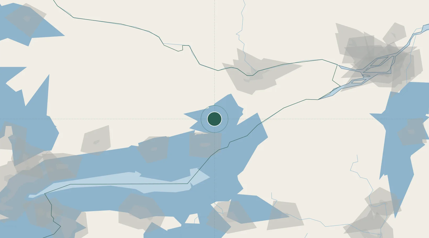
Place type
Populated place
Region
Ontario
Time zone
America/Toronto
Elevation
134 m
Location
Nearby Logistics Neighbours
Cities
- 1Rockport18 km
- 2Perth27 km
- 3Hartington35 km
- 4Ompah50 km
- 5Odessa53 km
Ports
- 1Gananoque43 km
- 2Rockport50 km
- 3Kingston51 km
- 4Wolfe Island54 km
- 5Alexandria Bay55 km
Airports
Trade Zones
- 1FTZ No. 118 Ogdensburg70 km
- 2FTZ No. 109 Watertown87 km
- 3FTZ No. 090 Onondaga138 km
- 4FTZ No. 172 Oneida County163 km
- 5FTZ No. 141 Monroe County200 km
DatabookThe Record of Consolidated Knowledge
Canada beyond logistics?