UN/LOCODE hub · Canada
CAOFL
Okanagan Falls
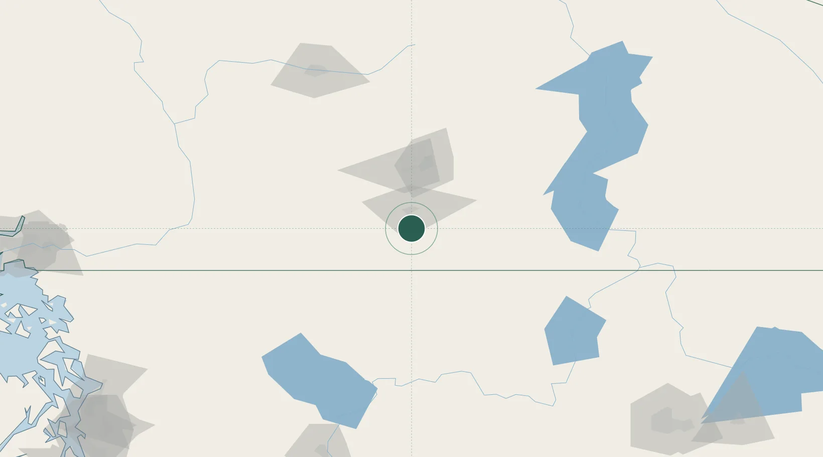
49.3500°, -119.5667°
2,266
Population
2
Transport functions
Transport Functions
Road
Multimodal
Hub Profile
Place type
Populated place
Region
British Columbia
Population
2,266
Time zone
America/Vancouver
Elevation
357 m
Location
Nearby Logistics Neighbours
Cities
- 1Oliver20 km
- 2Cawston24 km
- 3Naramata28 km
- 4Osoyoos36 km
- 5Bridesville49 km
Ports
- 1Mission City197 km
- 2Bellingham224 km
- 3Port Coquitlam232 km
- 4Blaine235 km
- 5Cherry Point238 km
Airports
- 1Penticton Airport13 km
- 2Kelowna International Airport69 km
- 3Grand Forks Airport91 km
- 4Vernon Regional Airport101 km
- 5Castlegar/West Kootenay Regional Airport140 km
Trade Zones
- 1FTZ No. 242 Boundary County211 km
- 2FTZ No. 128 Whatcom County225 km
- 3FTZ No. 129 Bellingham226 km
- 4FTZ No. 224 Spokane242 km
- 5FTZ No. 085 Everett246 km
DatabookThe Record of Consolidated Knowledge
Canada beyond logistics?