Transport Functions
Port
Rail
Road
Hub Profile
Place type
Populated place
Region
British Columbia
Population
1,625
Time zone
America/Vancouver
Elevation
364 m
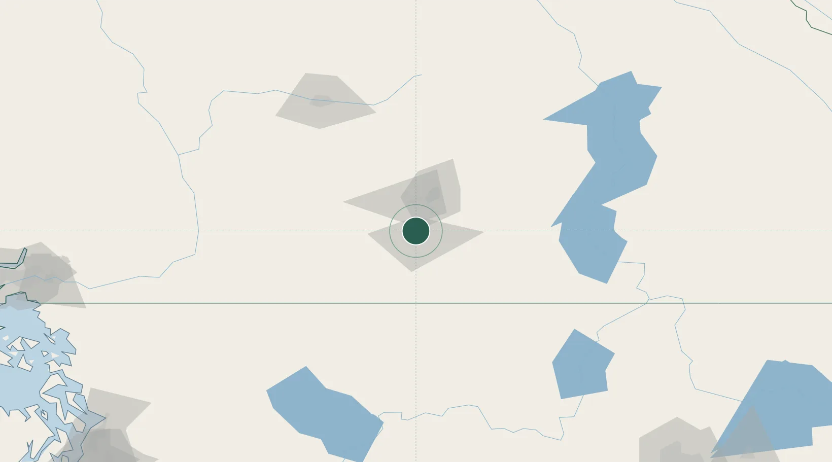
Location
Nearby Logistics Neighbours
Cities
- 1West Kelowna28 km
- 2Okanagan Falls28 km
- 3Cawston48 km
- 4Oliver48 km
- 5Osoyoos64 km
Ports
- 1Mission City200 km
- 2Bellingham232 km
- 3Port Coquitlam234 km
- 4Blaine239 km
- 5Fraser Mills240 km
Airports
- 1Penticton Airport15 km
- 2Kelowna International Airport42 km
- 3Vernon Regional Airport74 km
- 4Grand Forks Airport106 km
- 5Shuswap Regional Airport123 km
Trade Zones
- 1FTZ No. 242 Boundary County222 km
- 2FTZ No. 128 Whatcom County233 km
- 3FTZ No. 129 Bellingham234 km
- 4FTZ Vancouver Island259 km
- 5FTZ No. 085 Everett262 km
DatabookThe Record of Consolidated Knowledge
Canada beyond logistics?