Transport Functions
Multimodal
Hub Profile
Place type
Populated place
Region
British Columbia
Time zone
America/Vancouver
Elevation
1,013 m
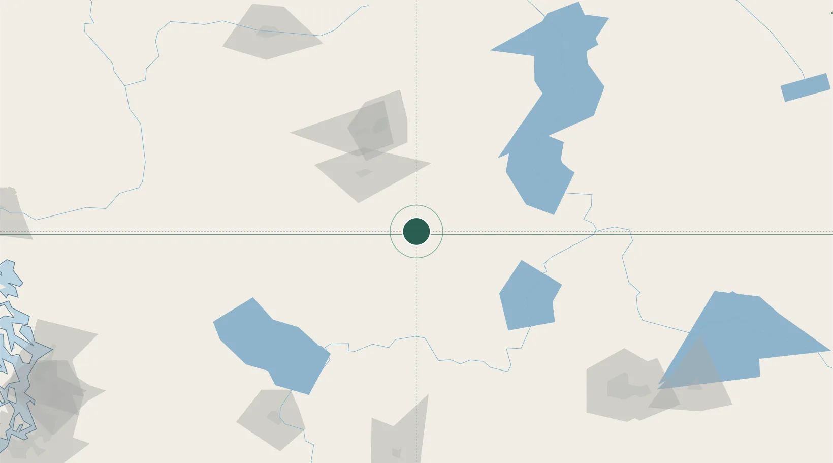
Location
Nearby Logistics Neighbours
Cities
- 1Osoyoos24 km
- 2Oliver35 km
- 3Greenwood35 km
- 4Tonasket42 km
- 5Okanagan Falls49 km
Ports
- 1Mission City228 km
- 2Bellingham248 km
- 3Everett254 km
- 4Anacortes261 km
- 5Mukilteo262 km
Airports
- 1Grand Forks Airport51 km
- 2Penticton Airport60 km
- 3Kelowna International Airport106 km
- 4Trail Regional Airport111 km
- 5Castlegar/West Kootenay Regional Airport114 km
Trade Zones
- 1FTZ No. 242 Boundary County172 km
- 2FTZ No. 224 Spokane193 km
- 3FTZ No. 203 Moses Lake210 km
- 4FTZ No. 129 Bellingham250 km
- 5FTZ No. 128 Whatcom County251 km
DatabookThe Record of Consolidated Knowledge
Canada beyond logistics?