Medium airport · Canada

Vernon Regional AirportCYVK

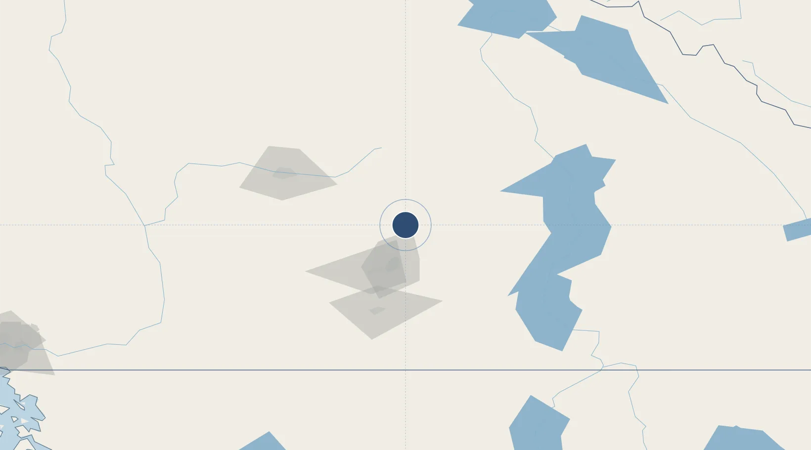
50.2462°, -119.3310°
3,360 ft
Longest runway
1
Runways
1,140 ft
Elevation

Runway & Layout

Vernon Regional Airport runway & taxiway layout
Runway & taxiway layout — OpenStreetMap (ODbL) / OurAirports

Radio Frequencies

ATF
122.8 MHz
OurAirports

Navaids

6K NDB Vernon Bc 302 kHz
OurAirports

Runways · 1

RunwayDimensions SurfaceTrue headingLit
05/23 3,360 × 75ft Asphalt 071°
OurAirports

Airport Specifications

IATA code
YVE
OurAirports
ICAO code
CYVK
OurAirports
Airport class
Medium airport
OurAirports
Scheduled service
No
OurAirports
Runway surface
Asphalt
OurAirports
Served city
Vernon
OurAirports

Location

Location of CYVK
Natural Earth 10m (public domain) · British Columbia · CYVK · 50.25, -119.33GoogleOSMYandex

Nearby Logistics Neighbours

Airports
  1. 1Kelowna International Airport32 km
  2. 2Shuswap Regional Airport49 km
  3. 3Penticton Airport89 km
  4. 4Kamloops John Moose Fulton Field Regional Airport94 km
  5. 5Revelstoke Airport114 km
Nearest neighbours — logibook spatial index (haversine) over the source coordinates
Cities
  1. 1Armstrong23 km
  2. 2Falkland32 km
  3. 3Enderby36 km
  4. 4Grindrod46 km
  5. 5West Kelowna48 km
Nearest neighbours — logibook spatial index (haversine) over the source coordinates
Ports
  1. 1Mission City244 km
  2. 2Port Coquitlam271 km
  3. 3Port Moody277 km
  4. 4Fraser Mills278 km
  5. 5Blaine283 km
Nearest neighbours — logibook spatial index (haversine) over the source coordinates
Trade Zones
  1. 1FTZ No. 242 Boundary County246 km
  2. 2FTZ No. 128 Whatcom County282 km
  3. 3FTZ No. 129 Bellingham285 km
  4. 4FTZ Vancouver Island294 km
  5. 5FTZ No. 224 Spokane316 km
Nearest neighbours — logibook spatial index (haversine) over the source coordinates
DatabookThe Record of Consolidated Knowledge
Canada beyond logistics?
Browse databook

All Sources

AirportsOurAirports
Public domain
Portsthe NGA World Port Index
Public domain (US gov)
LocationsUN/LOCODE
UN/LOCODE — free
Trade Zonesthe World Bank SEZ database
CC BY 4.0
Trade ZonesOpen Zone Map
CC BY
InfrastructureOpenStreetMap
ODbL 1.0
← Canada airports