Transport Functions
Rail
Road
Border Crossing
Hub Profile
Place type
Populated place
Region
British Columbia
Population
5,556
Time zone
America/Vancouver
Elevation
277 m
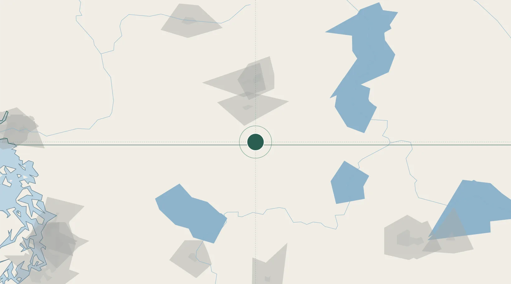
Location
Nearby Logistics Neighbours
Cities
- 1Oliver16 km
- 2Bridesville24 km
- 3Cawston28 km
- 4Okanagan Falls36 km
- 5Tonasket37 km
Ports
- 1Mission City204 km
- 2Bellingham224 km
- 3Everett233 km
- 4Anacortes238 km
- 5Blaine240 km
Airports
- 1Penticton Airport49 km
- 2Grand Forks Airport76 km
- 3Kelowna International Airport103 km
- 4Vernon Regional Airport135 km
- 5Trail Regional Airport135 km
Trade Zones
- 1FTZ No. 242 Boundary County196 km
- 2FTZ No. 224 Spokane211 km
- 3FTZ No. 203 Moses Lake212 km
- 4FTZ No. 129 Bellingham226 km
- 5FTZ No. 128 Whatcom County227 km
DatabookThe Record of Consolidated Knowledge
Canada beyond logistics?