Medium airport · Canada

Penticton AirportCYYF

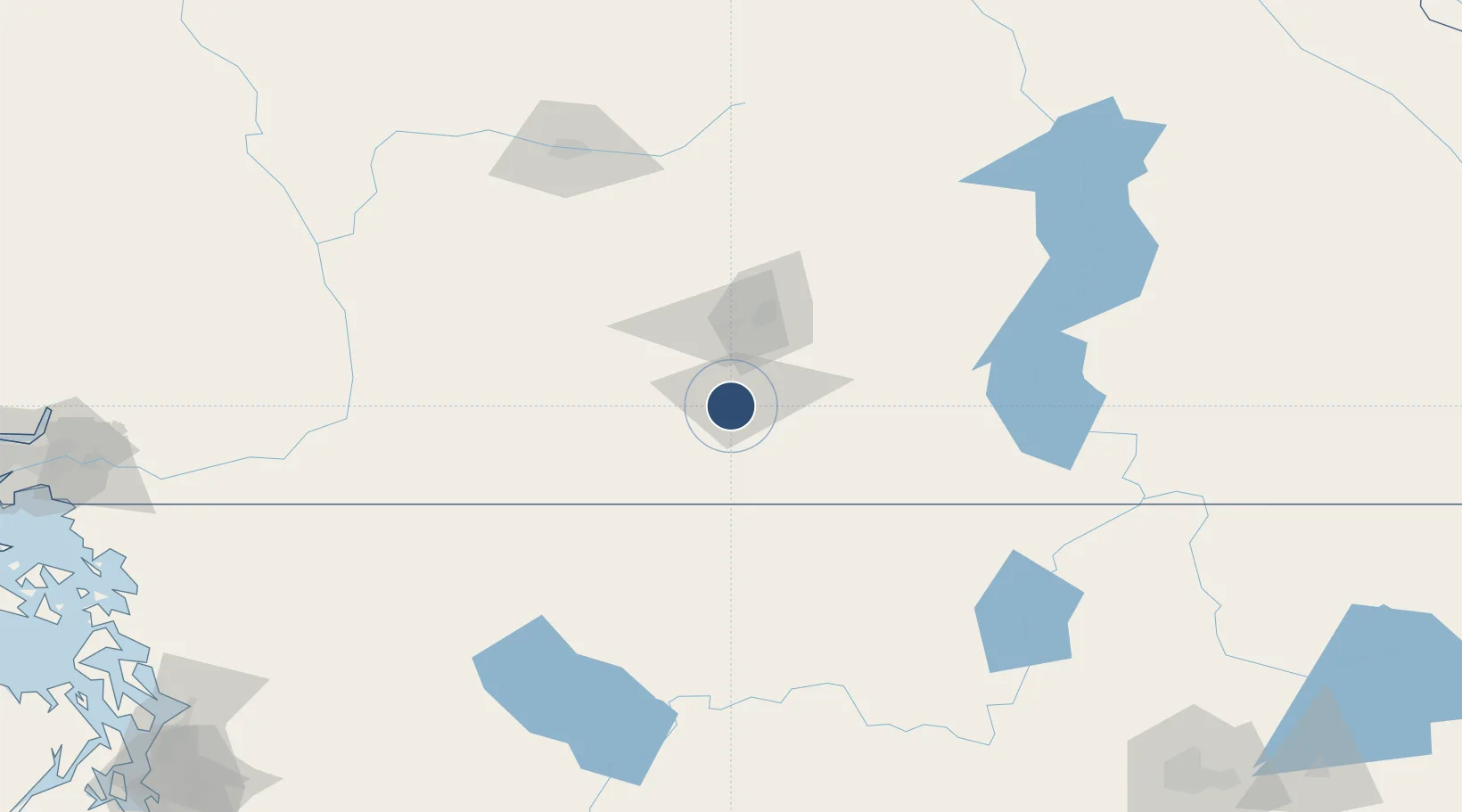
49.4631°, -119.6020°
6,000 ft
Longest runway
1
Runways
1,129 ft
Elevation

Runway & Layout

Penticton Airport runway & taxiway layout
Runway & taxiway layout — OpenStreetMap (ODbL) / OurAirports

Radio Frequencies

A/D
133.5 MHz
VANCOUVER APP/DEP
A/G
118.5 MHz
MF
RCO
122.5 MHz
PACIFIC RDO
RDO
118.5 MHz
OurAirports

Navaids

UNT NDB Naramata 312 kHz
XYF DME Penticton 110.30 MHz
YYF NDB Penticton 290 kHz
OurAirports

Runways · 1

RunwayDimensions SurfaceTrue headingLit
16/34 6,000 × 148ft Asphalt 182°
OurAirports

Airport Specifications

IATA code
YYF
OurAirports
ICAO code
CYYF
OurAirports
Airport class
Medium airport
OurAirports
Scheduled service
Yes
OurAirports
Runway surface
Asphalt
OurAirports
Served city
Penticton
OurAirports

Location

Location of CYYF
Natural Earth 10m (public domain) · British Columbia · CYYF · 49.46, -119.60GoogleOSMYandex

Nearby Logistics Neighbours

Airports
  1. 1Kelowna International Airport57 km
  2. 2Vernon Regional Airport89 km
  3. 3Grand Forks Airport99 km
  4. 4Shuswap Regional Airport138 km
  5. 5Castlegar/West Kootenay Regional Airport144 km
Nearest neighbours — logibook spatial index (haversine) over the source coordinates
Cities
  1. 1Okanagan Falls13 km
  2. 2Naramata15 km
  3. 3Oliver33 km
  4. 4Cawston33 km
  5. 5West Kelowna43 km
Nearest neighbours — logibook spatial index (haversine) over the source coordinates
Ports
  1. 1Mission City196 km
  2. 2Bellingham225 km
  3. 3Port Coquitlam231 km
  4. 4Blaine234 km
  5. 5Fraser Mills237 km
Nearest neighbours — logibook spatial index (haversine) over the source coordinates
Trade Zones
  1. 1FTZ No. 242 Boundary County217 km
  2. 2FTZ No. 128 Whatcom County226 km
  3. 3FTZ No. 129 Bellingham227 km
  4. 4FTZ No. 085 Everett251 km
  5. 5FTZ No. 224 Spokane253 km
Nearest neighbours — logibook spatial index (haversine) over the source coordinates
DatabookThe Record of Consolidated Knowledge
Canada beyond logistics?
Browse databook

All Sources

AirportsOurAirports
Public domain
Portsthe NGA World Port Index
Public domain (US gov)
LocationsUN/LOCODE
UN/LOCODE — free
Trade Zonesthe World Bank SEZ database
CC BY 4.0
Trade ZonesOpen Zone Map
CC BY
InfrastructureOpenStreetMap
ODbL 1.0
← Canada airports