Transport Functions
Rail
Road
Hub Profile
Place type
Populated place
Region
British Columbia
Population
1,040
Time zone
America/Vancouver
Elevation
401 m
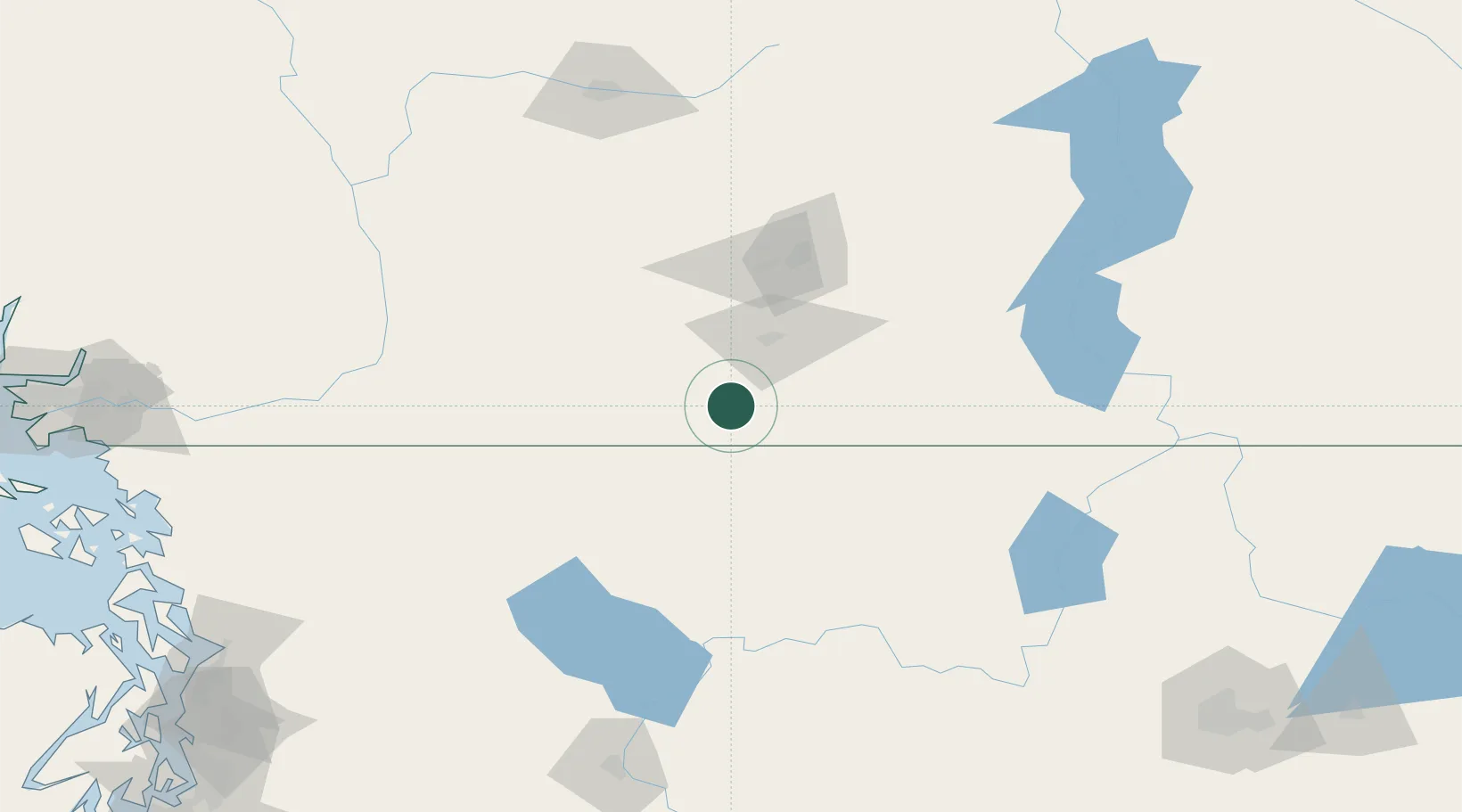
Location
Nearby Logistics Neighbours
Cities
- 1Oliver16 km
- 2Okanagan Falls24 km
- 3Osoyoos28 km
- 4Naramata48 km
- 5Bridesville50 km
Ports
- 1Mission City181 km
- 2Bellingham205 km
- 3Port Coquitlam218 km
- 4Blaine218 km
- 5Cherry Point220 km
Airports
- 1Penticton Airport33 km
- 2Kelowna International Airport90 km
- 3Grand Forks Airport99 km
- 4Vernon Regional Airport122 km
- 5Castlegar/West Kootenay Regional Airport156 km
Trade Zones
- 1FTZ No. 128 Whatcom County207 km
- 2FTZ No. 129 Bellingham207 km
- 3FTZ No. 242 Boundary County220 km
- 4FTZ No. 085 Everett223 km
- 5FTZ No. 203 Moses Lake230 km
DatabookThe Record of Consolidated Knowledge
Canada beyond logistics?