Transport Functions
Rail
Road
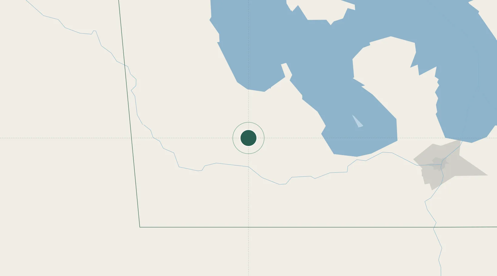
Hub Profile
Place type
Populated place
Region
Manitoba
Population
2,449
Time zone
America/Winnipeg
Elevation
516 m
Location
Nearby Logistics Neighbours
Cities
- 1Rapid City21 km
- 2Kelwood48 km
- 3Shilo50 km
- 4Carberry55 km
- 5Hamiota55 km
Ports
- 1Duluth688 km
- 2Superior693 km
- 3Two Harbors700 km
- 4Grand Marais746 km
- 5Bayfield766 km
Airports
Trade Zones
- 1Winnipegs Centreport Canada196 km
- 2FTZ No. 103 Grand Forks324 km
- 3Global Transportation Hub Authority350 km
- 4FTZ No. 267 Fargo432 km
- 5FTZ No. 259 Koochiching County456 km
DatabookThe Record of Consolidated Knowledge
Canada beyond logistics?